Subject: Atlases
Period: 1852 (published)
Publication:
Color: Hand Color
Size:
6.7 x 9.8 inches
17 x 24.9 cm
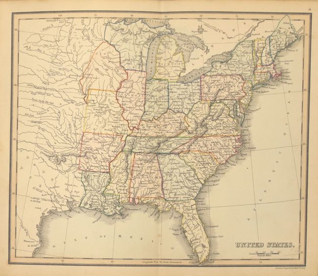
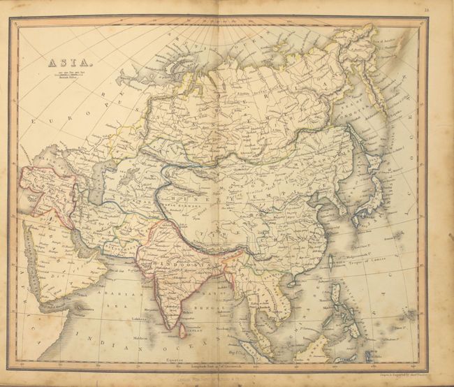
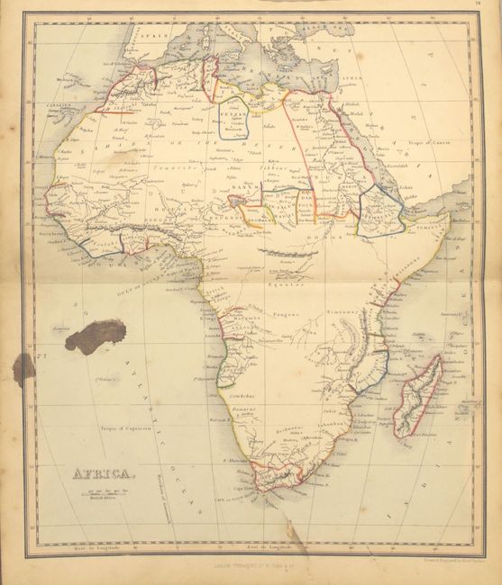
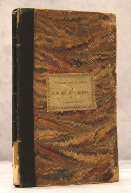
This interesting, early English school atlas contains 17 tipped-in double page maps with blank versos. Many maps are dedicated to Europe, but the atlas also contains maps of the eastern hemisphere, western hemisphere, Asia, Africa, North America, South America, and the United States. The map of the North America features an independent Republic of Texas. Followed by a 16-page index. Octavo, hardbound with quarter green leather over marbled boards with a printed paper label on front cover.
References:
Condition: B
The maps, in original outline color, are good to very good with some light scattered foxing and soiling mostly in the blank margins. The map of Africa has an ink stain in a blank portion of the map image. Spine is chipped at bottom, the edges are bumped, and the covers are lightly worn.


