Subject: Pennsylvania
Period: 1869 (dated)
Publication:
Color: Hand Color
Size:
52.4 x 49.9 inches
133.1 x 126.7 cm
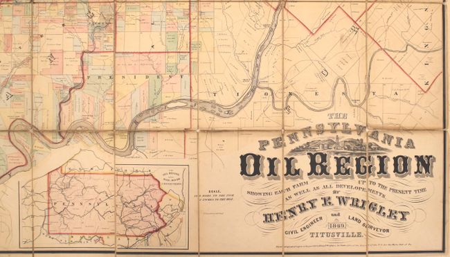
Detailed cadastral survey of Warren, Crawford, Venango and Forrest Counties, the oil region of Pennsylvania in 1869 when the map was published by Henry E. Wrigley, civil engineer and surveyor. The map is constructed on such a large scale (2 inches = 1 mile) that it was capable of "showing each farm up to the present time." Wrigley became head of the Pennsylvania Geological Survey and published reports on the oil industry. Dissected and mounted on linen, as issued. Folds into new paper self-wrapper with original title label.
A very rare issue with only a few examples known to be held in institutions, including the Library of Congress and the British Library.
References: Phillips (Maps) p. 684.
Condition: B+
A nice impression with original color and light soiling and toning, primarily along the folds. There are a number of separations in the linen along the folds and at fold intersections, which have been archivally repaired on verso. There are two small splotches of pink ink at right.


