Subject: World, Asia, Flight Maps
Period: 1958-80 (circa)
Publication:
Color: Printed Color
This lot includes 4 flight maps from Asian airlines.
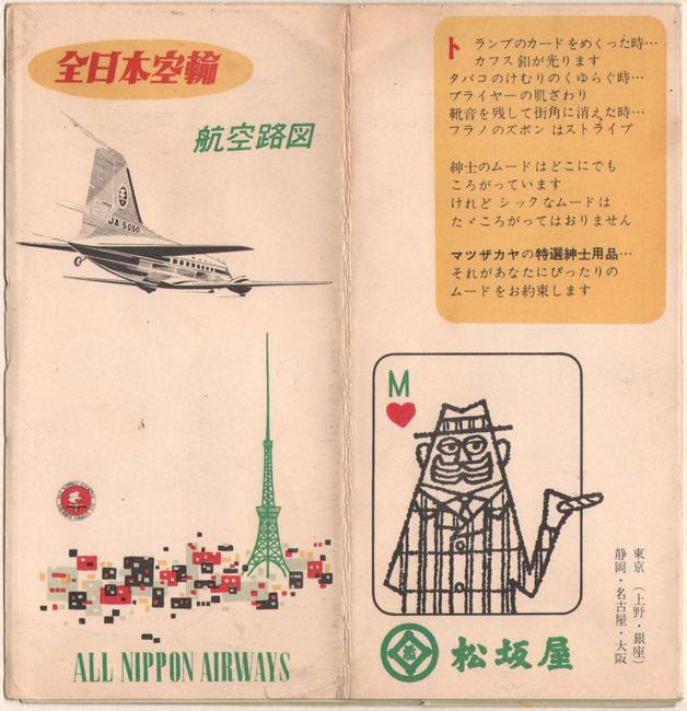
A. All Nippon Airways, by All Nippon Airways, circa 1958 (3.4 x 6.8"). This vibrantly designed pamphlet for Japan's All Nippon Airways includes two route maps highlighting domestic flight routes. A key identifies airports, radio towers, national and private railways, cities, and national parks. Condition: There is minor toning and soiling to the covers.
B. The Routes of My Jet Carpet, by Air India, dated 1978 (3.9 x 8.2"). This souvenir flight map from Air India features a large world map with two panels listing flights with their distances in miles and kilometers. There are ten smaller maps zeroing in on specific regions. A few photographs emphasize the airline's glamor and comfort. The cover design suggests a magic carpet.
C. Cathay Pacific Route Map, by Cathay Pacific, circa 1978 (4.4 x 7.8"). This route map for the Hong Kong-based airline shows routes going as far west as Bahrain and as far east as Sydney. The cover of the pamphlet is a photograph of a sampan.
D. Route Map, by Kuwait Airways Corporation, dated 1980 (3.9 x 8.4"). This pamphlet from Kuwait Airways includes two maps: a world map showcasing flight paths and airports served and a smaller map that zooms in to show flights to Europe, the USSR, Northern Africa, and the Middle East. Two photographs spotlight two planes in the airline's fleet: the Boeing 707-320C and the Boeing 747-200B. The striking cover design is an abstract and colorful spin on the company's bird logo.
References:
Condition: A
The maps are all in near fine condition, with some minor toning and soiling to the ANA map.


