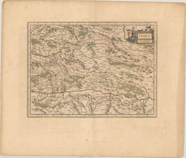
Subject: Southeast Austria
Period: 1645 (circa)
Publication: Nieuwen Atlas
Color: Hand Color
Size:
16.4 x 12.1 inches
41.7 x 30.7 cm
This handsome map roughly corresponds to the modern Austrian state of Styria. The map is centered on Graz, with a focus on the cities along the Drava River, now one of the most popular cycle paths in Europe. It extends east to Furstenfeld and west to Volkermarkt. There is good detail of rivers, mountains, and forested areas, and large cities are illustrated with miniature castles. The title cartouche includes a warrior maiden, a putto, and a coat of arms, which appears to be the reverse image of the coat of arms of Styria. Dutch text on verso, published between 1645-58.
References: Van der Krogt (Vol. I) #2730:1A.2.
Condition: B+
Contemporary color on a lightly toned sheet with wide margins. There is light foxing and a few edge tears confined to the blank margins.


