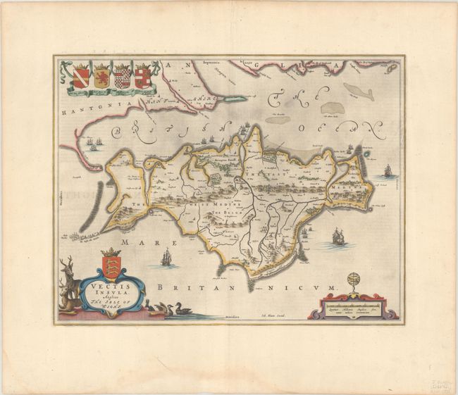
Subject: Isle of Wight, England
Period: 1648 (circa)
Publication: Toonneel des Aerdrycks oft Nieuwe Atlas...Vierde Deel
Color: Hand Color
Size:
19.8 x 15.3 inches
50.3 x 38.9 cm
This attractive map of the Isle of Wight extends north to include Hurst Castle and Portsmouth. The island itself is filled with forests and hills, villages, bridges, and windmills. It is handsomely embellished by several sailing ships and coats of arms. The large title cartouche features stags and ducks, and the distance scale is surmounted by an armillary sphere. Dutch text on verso, published between 1648-62.
References: Van der Krogt (Vol. II) #5740:2.
Condition: A+
A dark impression with full contemporary color on a bright, wide-margined sheet with a large watermark of the god Atlas and a faint dampstain in the bottom margin, well away from the image.