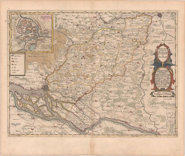
Subject: Northern Germany
Period: 1662 (circa)
Publication:
Color: Hand Color
Size:
22.9 x 17 inches
58.2 x 43.2 cm
This decorative map focuses on the region between Hamburg and Lubeck, identifying the roads and towns in between. The Elbe River is prominently shown. The inset at top left shows a town plan of Bad Oldesloe with the city's churches and castle identified by a lettered key. The map is adorned with a strapwork title cartouche that incorporates the distance scale and a dedication to Christophorus von Bulow and Friedrich von Alfeldt. Spanish text on verso, published between 1659-72.
References: Van der Krogt (Vol. II) #1676:2.2.
Condition: A
A nice impression with full contemporary color on a sheet with a large watermark of the god Atlas. There is very minor toning and soiling and several worm tracks in the bottom margin that have been backed with old paper.


