Subject: Western Germany
Period: 1659 (circa)
Publication:
Color: Hand Color
Size:
19.7 x 15 inches
50 x 38.1 cm
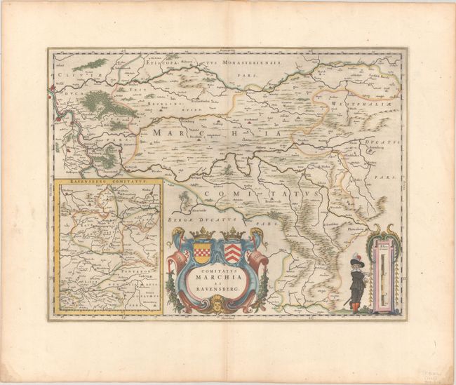
This map depicts two historical counties of the Holy Roman Empire: Marks and Ravensberg. Major cities, towns, mountains, and rivers are identified. An inset at the bottom left shows Ravensberg and its surrounding regions. The map is adorned with an elaborate title cartouche featuring the coats of arms of the two counties and a scale of miles cartouche flanked by a regional figure. Spanish text on verso, published between 1659-72.
References: Van der Krogt (Vol. I) #2387:2.
Condition: A
A dark impression with full contemporary color on a wide-margined sheet with a large watermark of the god Atlas. There is a small worm track along the centerfold within the title cartouche.


