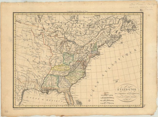
Subject: Eastern United States
Period: 1810 (dated)
Publication:
Color: Hand Color
Size:
11.8 x 8.7 inches
30 x 22.1 cm
This interesting map of the nascent United States features well-developed river systems, intricate topographical detail, and numerous Indian tribes in the interior. The map shows 16 states and 5 territories, including the massive Louisiana that was acquired 7 years earlier. Other territories include Mississippi, Indiana, Michigan, and Maine (Mains here). There is fancy titling in a small oval cartouche, along with four distance scales. Engraved by Adam and Giraldon.
References:
Condition: B+
There is light toning, a bit of foxing, and two small wormholes (only one in image). Binding holes are visible in the top blank margin, far from image.