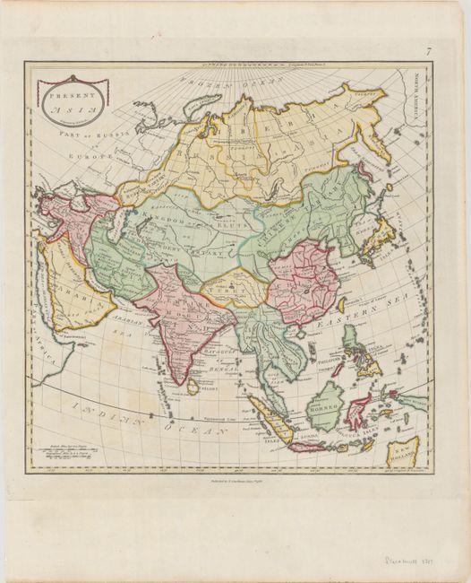
Subject: Asia
Period: 1783 (dated)
Publication: An Universal Atlas
Color: Hand Color
Size:
14.4 x 14.5 inches
36.6 x 36.8 cm
This map of Asia extends to include the tip of North America at top right and New Holland at bottom left. Detail is limited to major cities, regions, rivers, and mountain ranges. Engraved by Samuel Neele. Published in Stackhouse's An Universal Atlas, which included ancient and modern maps presented side-by-side to allow readers to visualize how knowledge of the region, political boundaries, and nomenclature changed over time.
References: Shirley (BL Atlases) T.STA-1a #7.
Condition: B+
A sharp impression on a bright sheet with the watermarks of a Strasbourg Lily with "LVG" and "WKing" and some faint offsetting from an opposing page and a couple of tiny tears along the edges of the sheet.


