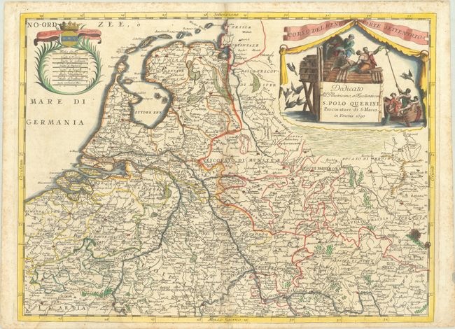
Subject: Western Europe, Rhine River
Period: 1690 (dated)
Publication: Atlante Veneto
Color: Hand Color
Size:
24.1 x 17.9 inches
61.2 x 45.5 cm
This detailed map depicts the northern portion of the Rhine River through parts of the Netherlands and Germany, from the mouth of the river to Mainz. Other important rivers in the region, including within Belgium, are also shown. Major cities, towns, regions, and mountains are located. A large decorative cartouche adorns the map featuring fishermen working on a boat and a pier.
References: Shirley (BL Atlases) T.CORO-7a #38.
Condition: B
A nice impression on a sheet with a fleur-de-lis medallion watermark, a light dampstain along the centerfold and at bottom left, and marginal foxing. There are two ink stains at far right that have caused a small hole within the border.


