Subject: Tierra del Fuego
Period: 1631 (circa)
Publication: Historia Antipodum oder Newe Welt…
Color: Black & White
Size:
8.1 x 6.6 inches
20.6 x 16.8 cm
This copper engraving is from a remarkable series of publications, illustrating voyages of discovery and travels of exploration to various parts of the world. The project was begun by Theodore de Bry of Frankfurt, in 1590 and was to continue for another 54 years. They became known collectively as the Grands Voyages (to America and the West Indies) and the Petits Voyages (to the Orient and the East Indies). De Bry died after the first six parts of the Grands Voyages were completed. The project was completed initially by his widow and two sons, Johann Theodore de Bry and Johann Israel de Bry, then by Johann Theodore's son-in-law, Matthaus Merian, in 1624.
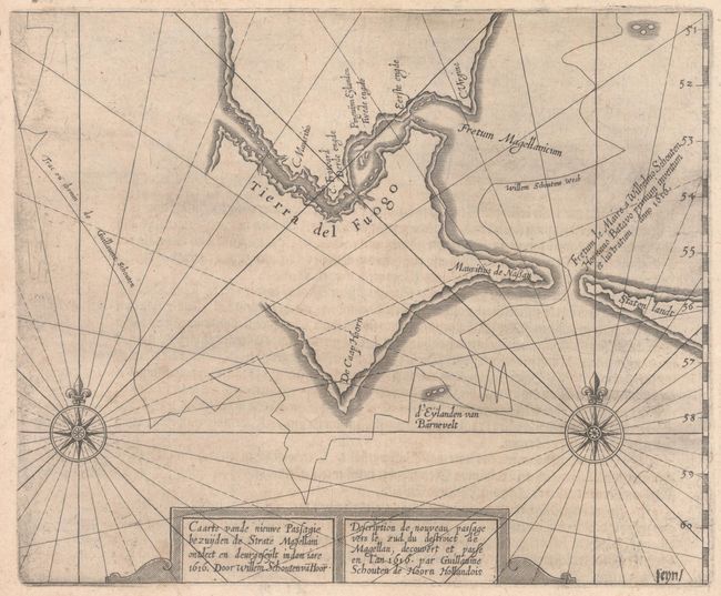
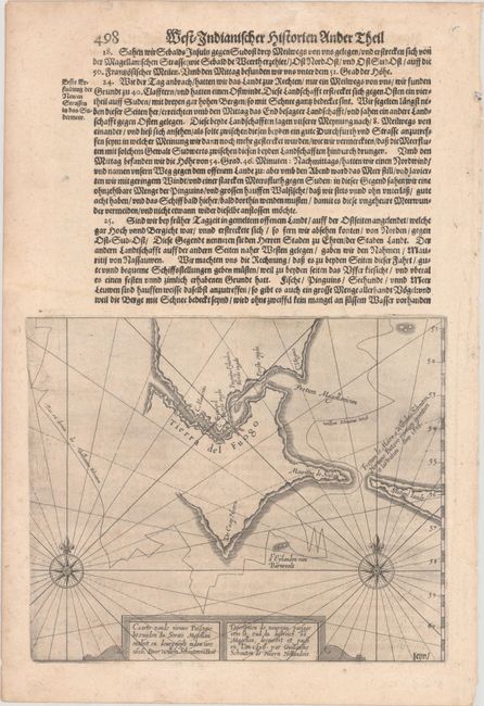
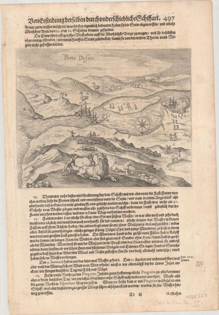
This early map of the region depicts the tip of South America with Tierra del Fuogo, which is shown with an incomplete western coastline. It traces Jacob le Maire and Willem Cornelisz Schouten's route around Cape Horn and notes the discovery of Le Maire Strait. It includes titles in Dutch and French and two compass roses capped with fleurs-de-lis and radiating rhumb lines. On a sheet of German text measuring 9.3 x 13.6". This map was originally published in Volume XI of De Bry's Grand Voyages, Historische Beschreibung, der Wunderbarlichen Reyse, Welche von Einem Holländer, Willhelm Schouten… (1619). On verso is an engraving of le Maire and Schouten landing at Puerto Deseado, depicting the discovery of giant skeletons, ostriches, and llama-like creatures, and the hunting of penguins and sea lions. This sheet appeared in Johann Ludwig Gottfried's Historia Antipodum, an abridgement of De Bry's voyages to America that incorporated much new material. Matthaus Merian, de Bry's son-in-law and publisher for Historia Antipodum, was granted access to de Bry's copper-engraved plates.
References:
Condition: B+
Dark impressions with light printer's ink residue, minor foxing, and light soiling, much of it confined to the margins.


