Catalog Archive
Auction 197, Lot 473
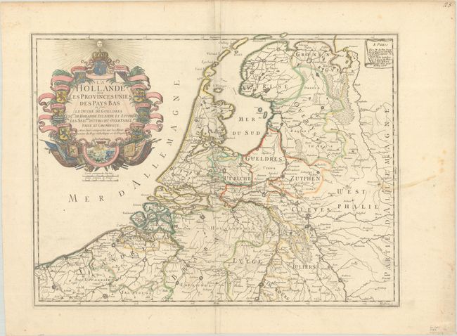
"La Hollande ou les Provinces Unies des Pays Bas ou sont le Duche de Gueldres les Ctez. de Hollande Zelande et Zutphen...", Fer, Nicolas de

Subject: Low Countries
Period: 1702 (dated)
Publication: Atlas ou Recueil de Cartes Geographiques...
Color: Hand Color
Size:
20.8 x 15.6 inches
52.8 x 39.6 cm
Download High Resolution Image
(or just click on image to launch the Zoom viewer)
(or just click on image to launch the Zoom viewer)

