Subject: California, Hollywood
Period: 1940 (circa)
Publication:
Color: Printed Color
Size:
16 x 21.8 inches
40.6 x 55.4 cm
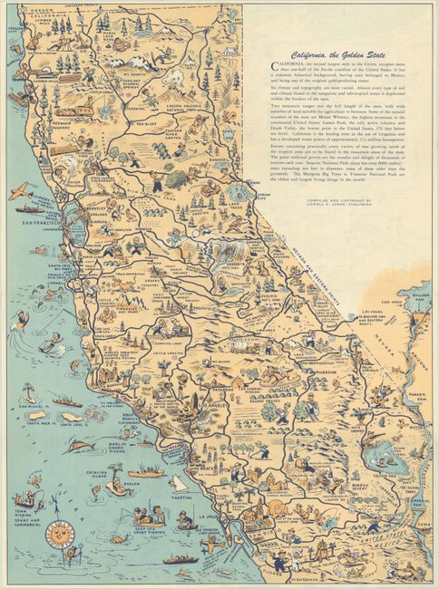
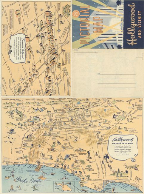
This mail-able folding brochure includes a large pictorial map of California and two smaller maps of Hollywood. The map of California, California, the Golden State (16 x 21.8"), is filled with whimsical depictions of various sites and activities around the state, such as the Santa Anita track, Missions, the San Diego Zoo, Yosemite, wine regions, and more. Nevada is left blank for a text describing the state. On verso are two maps of Hollywood, Hollywood - Film Capital of the World (16.1 x 10.8") and Downtown Hollywood (10.8 x 7.9"). The first Hollywood map is also pictorial, extending from the Pacific Palisades to Pasadena and as far south as Long Beach. Major roads and key locations are identified, surrounded by whimsical images. The downtown map illustrates important buildings between La Brea Avenue and Western Avenue, such as motion picture studios, radio studios, hotels, theaters, and famous eateries. Compiled by Lowell E. Jones and lithographed by Hester & Smith, Inc. A charming and rare souvenir.
References:
Condition: A
Clean and bright with very minor wear along the folds. There is minor foxing visible on verso.


