Subject: Britain
Period: 1639 (published)
Publication:
Color: Black & White
Size:
3.2 x 5.6 inches
8.1 x 14.2 cm
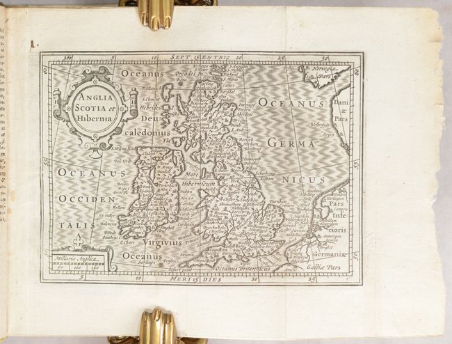
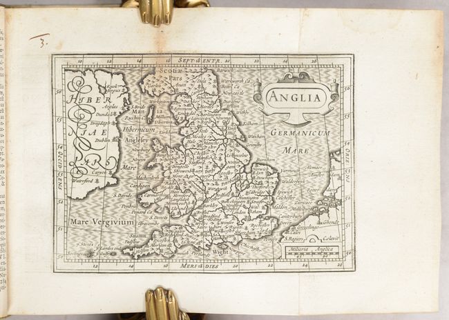
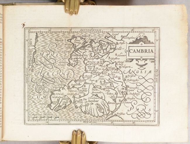
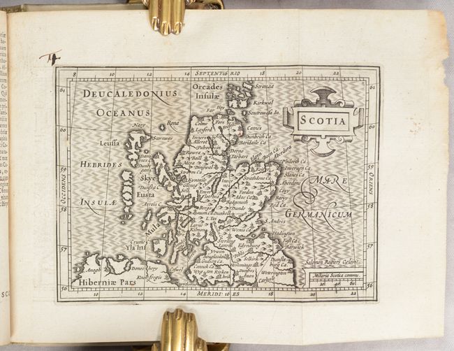
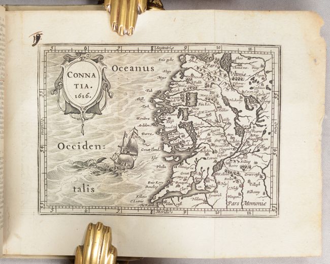
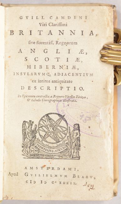
This miniature atlas is an abridged version of Camden's Brittania published by the Blaeu family in Amsterdam. It contains a total of 19 maps, with county maps taken from Petrus Bertius' Tabularum Geographicarum of 1618. The maps of Ireland, England, and Scotland are signed in the plate by Salomon Rogiers. The full list of maps include:
Anglia Scotia et Hibernia
Magna Britannia
Anglia
Cornub. Devonia Somerset etc.
Warwicum Northapton Hunting. etc.
Eboracum Lincolnia Derbia Staffordia etc.
Westmorlad Lancastria Cestria etc.
Cambria
Northumbr. Cumberlan. Dunelm. Episcop.
Scotia
Scotia Australis
Scotia Septentrion.
Hibernia
Hibernia Austral.
Lagenia
Media
Connatia. 1616.
Hibernia Septentr. in qua Ultonia Connatia
[4 maps on one sheet] Anglesey Ins. [with] Wight ol. Vectis [with] Ins Garnesay [with] Ins. Iarsay
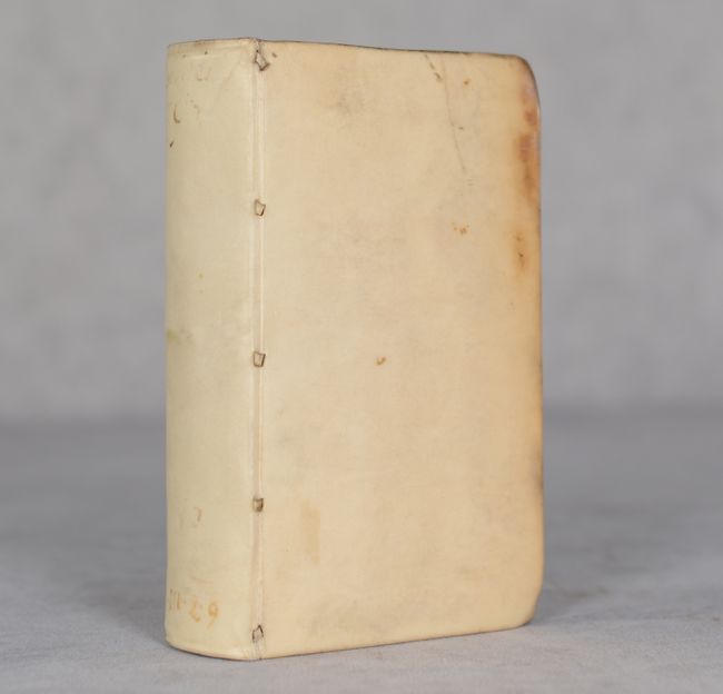
Title page, 458 pages of Latin text, 19 maps, and index. Hardbound in full vellum.
References: Shirley (BL Atlases) T.CAMD-4a.
Condition: A
Condition code is for the maps which are dark impressions on clean, bright sheets. Two of the maps have light offsetting at left and the map of <i>Anglia</i> has minor foxing along the fold. Text is very good with numerous manuscript notations throughout and some wear along the fore edge from use (more apparent in the first 20 pages). These is an old library stamp on the title page and ex-library manuscript notation on the front pastedown. Covers have bumped corners and minor staining.


