Catalog Archive
Auction 198, Lot 417
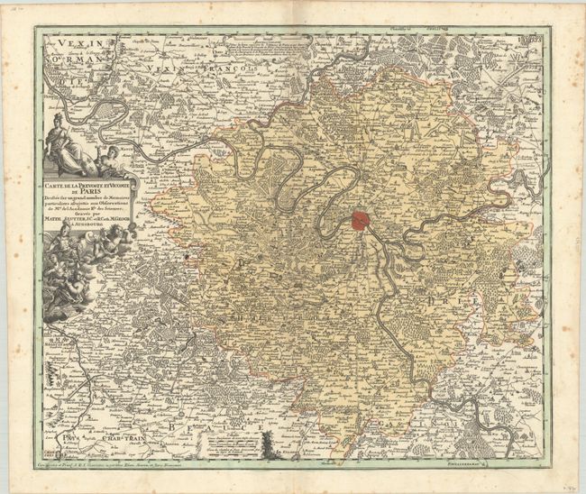
"Carte de la Prevoste en Vicomte de Paris Dressee sur un Grand Nombre de Memoires Particuliers Assujettis aux Observations de Mrs. de l'Academie Rle des Sciences", Seutter, Matthias

Subject: Northern France, Paris
Period: 1720 (circa)
Publication:
Color: Hand Color
Size:
22.6 x 19.3 inches
57.4 x 49 cm
Download High Resolution Image
(or just click on image to launch the Zoom viewer)
(or just click on image to launch the Zoom viewer)

