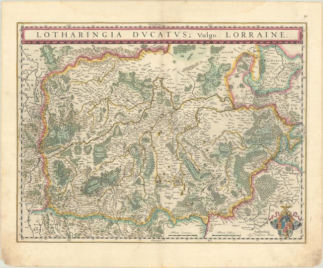
Subject: Eastern France
Period: 1634 (circa)
Publication: Novus Atlas
Color: Hand Color
Size:
19.8 x 15.1 inches
50.3 x 38.4 cm
A lovely copper engraved map of the Lorraine region of France places Nancy at center and is surrounded by hundreds of tiny villages. North is oriented to the right, towards Lutzenburgia where the Saar and Moselle Rivers converge. The title is in a panel at the top, and a beautiful coat of arms is at the bottom right. German text on verso, published between 1634-35.
References: Van der Krogt (Vol. II) #4250:2.
Condition: B+
A nice impression with full contemporary color on a bright sheet with an extraneous crease adjacent to the centerfold and dampstains along the edges of the sheet, causing some chipping in the bottom corners.


