Catalog Archive
Auction 198, Lot 441

"Segoviae et Avilae Provinciarum Charta Geographica...", Gussefeld/Homann Heirs

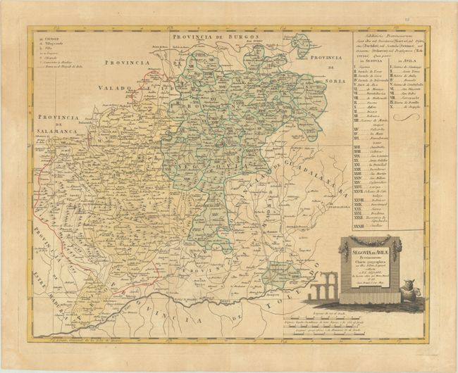
Subject: Central Spain

Period: 1799 (dated)

Publication:

Color: Hand Color

Size:
22.2 x 17.6 inches
56.4 x 44.7 cm
Download High Resolution Image
(or just click on image to launch the Zoom viewer)

This handsome and uncommon map covers the region between the Rio Tajo (the Tagus) in the south and the Rio Duero (the Duoro) in the north. It names Toledo, Madrid, Guadalajara, Segovia, Avila, and much more. A numbered table at right identifies various political divisions. The decorative title cartouche includes a couple sheep and the Roman Aqueduct of Segovia and credits the cartography to Don Tomas Lopez.

References:

Condition: B

A sharp impression on a watermarked sheet with some uneven light toning and a pair of small wormholes.

Estimate: $160 - $190

Sold for: $120

Closed on 6/19/2024

Archived