Catalog Archive
Auction 198, Lot 498

"Nova Mappa Archiducatus Austriae Superioris Ditiones in suos Quadrantes Divisas Conspectui Sistens...", Seutter, Matthias

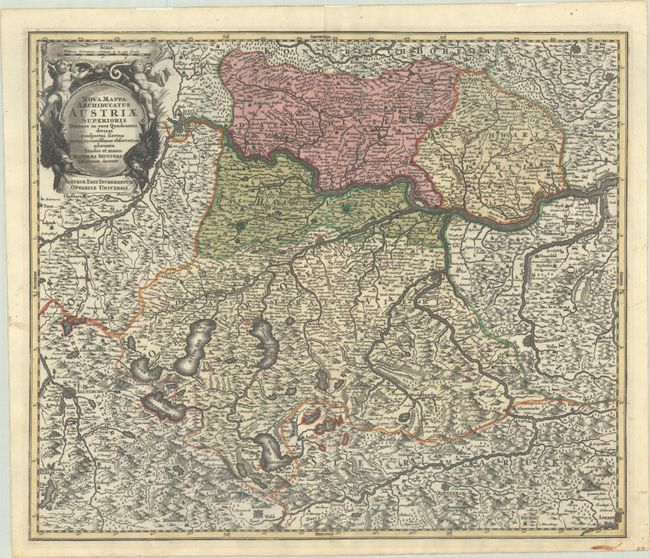
Subject: Northwestern Austria

Period: 1730 (circa)

Publication:

Color: Hand Color

Size:
22.7 x 19.3 inches
57.7 x 49 cm
Download High Resolution Image
(or just click on image to launch the Zoom viewer)

This handsome and graphic map of northwestern Austria is filled with incredible detail. The map extends from Salzburg in the west to Ybbs in the east, and as far south as Loeben. Numerous fortified cities are shown, includingof Linz, Passau, Wells, Freistatt, Weitra, Waidhofen, Rottenman, Rachstat, and more. There is excellent detail of the Danube River and its tributaries. Adorned with a decorative title cartouche featuring putti and eagles.

References:

Condition: A

A sharp impression with full contemporary color, marginal soiling, and small remnants of hinge tape on verso.

Estimate: $200 - $230

Sold for: $120

Closed on 6/19/2024

Archived