Catalog Archive
Auction 198, Lot 536

"Le Tyrol sous le Nom Duquel l'on Comprend le Comte de Tyrol, les Comtes Annexes de Bregentz, Feldkirck, Monfort, Plundentz, &c...", Robert de Vaugondy, Gilles

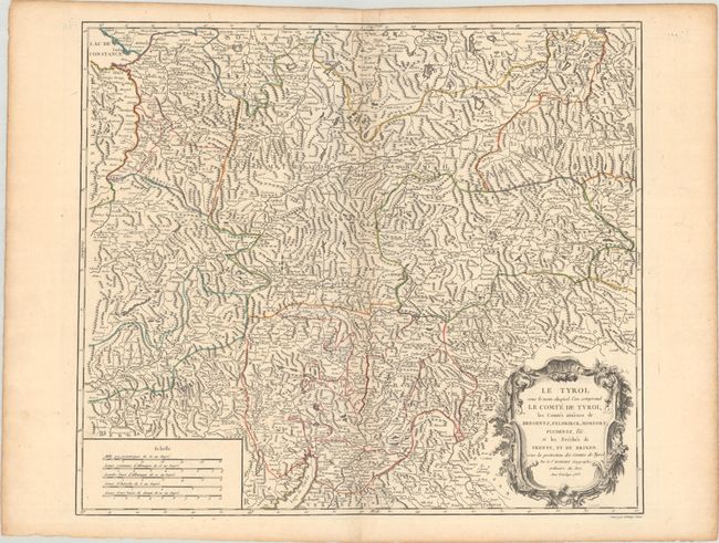
Subject: Northern Italy & Western Austria

Period: 1753 (dated)

Publication: Atlas Universel

Color: Hand Color

Size:
21.6 x 18.8 inches
54.9 x 47.8 cm
Download High Resolution Image
(or just click on image to launch the Zoom viewer)

This map depicts the rugged Alps region extending from Lake Constance south to Lake Garda, including the western panhandle of Austria and northern Italy. It is filled with mountains, rivers, lakes, and numerous place names throughout. The large title cartouche, in the flourishing French style, fills the lower right corner with 5 distance scales providing visual balance in the left corner.

References: Pedley #280.

Condition: A

Contemporary outline color with a hint of toning along the centerfold.

Estimate: $120 - $150

Sold for: $40

Closed on 6/19/2024

Archived