Catalog Archive
Auction 199, Lot 136
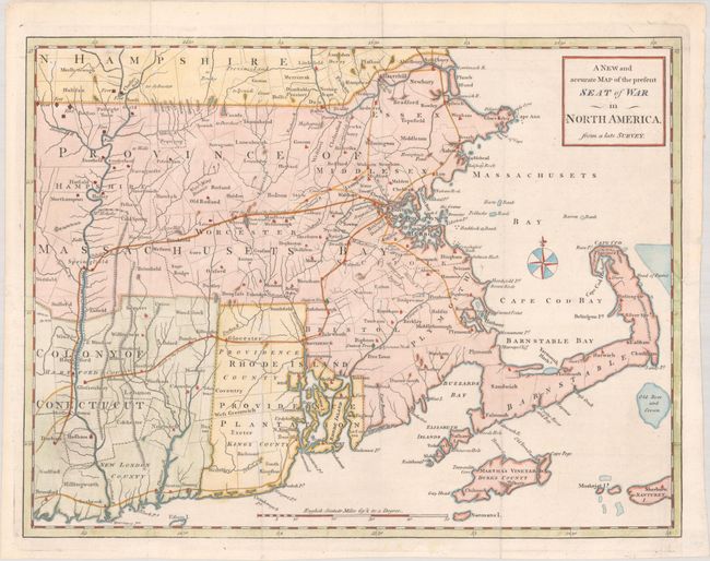
"A New and Accurate Map of the Present Seat of War in North America, from a Late Survey", Anon.

Subject: Colonial New England United States
Period: 1775 (published)
Publication: Universal Magazine
Color: Hand Color
Size:
15 x 11.4 inches
38.1 x 29 cm
Download High Resolution Image
(or just click on image to launch the Zoom viewer)
(or just click on image to launch the Zoom viewer)

