Subject: Washington, D.C.
Period: 1864 (dated)
Publication:
Color: Black & White
Size:
16.8 x 13.5 inches
42.7 x 34.3 cm
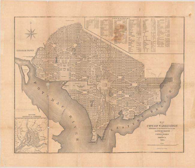
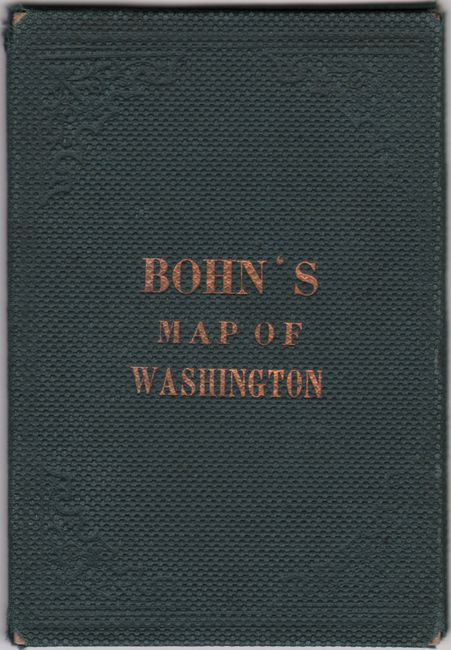
This uncommon pocket map shows the city divided into wards and presents the layout of streets including the long diagonals. Washington is bordered by the Potomac River and the Eastern Branch, now the Anacostia River. Georgetown, at the left and northwest of Rock Creek, is separately labeled. Each block is numbered, and a few major buildings including the Capitol and the Presidents House are identified. The proposed landscape design for the Mall is shown along with the Smithsonian Institution and Washington Monument. Features a key to points of interest at top and an inset of the broader region at lower left. Copyright date of 1858 at lower left. The map is loose and accompanied by its original green cloth covered boards with gilt title on the front cover (3.5 x 5.0").
References: Phillips (DC) #187.
Condition: B
Issued folding with archival repairs to numerous fold separations with some small image loss mostly in the Potomac River at left and Eastern Branch at bottom. The sheet is lightly toned with some staining at top and a few old tape repairs at right. The map is detached from the covers, which are lightly worn.


