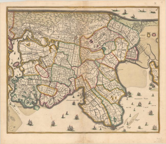
Subject: Western Netherlands
Period: 1670 (circa)
Publication:
Color: Hand Color
Size:
21.4 x 17.8 inches
54.4 x 45.2 cm
Superb detailed map of the region including Amsterdam, Hoorn, Enkhuizen, and Alkmaar, oriented with west at top. The surrounding seas are filled with dozens of various sailing vessels and the interior is filled with a meticulous portrayal of the canals, dykes and polders. This is the third state, with an "N" engraved at top right.
References: Carhart (De Wit) #130.
Condition: B+
A crisp impression with full contemporary color on a bright sheet with light toning along the centerfold and a few minor spots. There is a light dampstain in the bottom margin at center.