Subject: France, Atlases
Period: 1647 (published)
Publication:
Color: Black & White
Size:
24 x 20 inches
61 x 50.8 cm
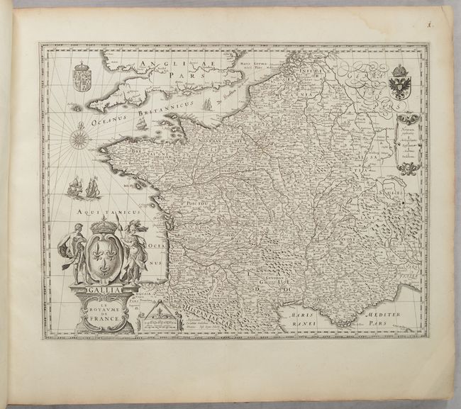
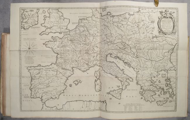
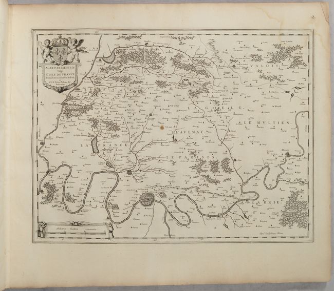
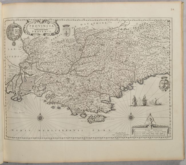
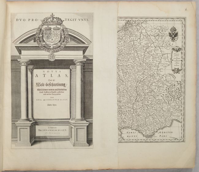
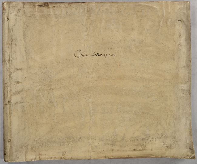
This is a German edition of Johannes and Cornelius Blaeu's volume on France, which includes 48 maps related to France. Novus Atlas was the German edition of Blaeu's Theatrum Orbis Terrarum, and was published in three to six volumes comprising maps of the entire world. The maps of France were contained within Volume 1, Part 2 of the series. This example is complete with a title page and all 48 maps, including the four-sheet folding map of Europe, Imperii Caroli Magni et Vicinarum Regionum Descriptio, which is often missing. All maps are blank on verso, and no text was included in this example, which was issued in an oblong elephant folio format in full contemporary vellum with "Gallia, Lotharingia, etc." written in manuscript ink on the front cover. The maps are:
1. Gallia le Royaume de France
2. Imperii Caroli Magni
3. Comitatuum Boloniae et Guines
4. Archiepiscopatus Cameracensis
5. Picardia Regio Belgica
6. Descriptio Veromanduorum [on sheet with] Gouvernement de la Cappelle
7. Le Gouvernement de l'Isle de France
8. Valesium Ducatus Valois
9. Comitatus Bellovacum
10. Ager Parisiensis
11. Le Pais de Brie
12. Belsia, vulgo la Beausse
13. Gastinois et Senonois
14. Champagne Latine Campania Comitatus
15. Dioecese de Rheims
16. Les Souverainetez de Sedan et de Ravcourt
17. Lotharingia Ducatus
18. Territorium Metense
19. Les Environs de l'Estang de Longpendu
20. Utruisque Burgundiae
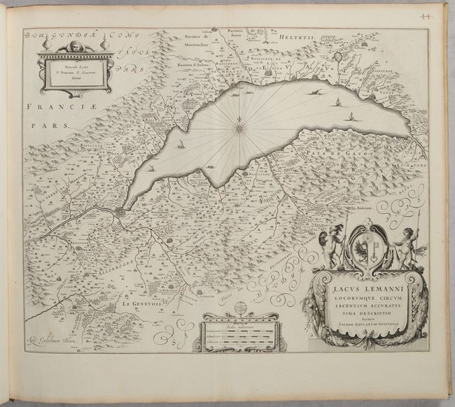
21. Lacus Lemanii
22. Bressia Vulgo Bresse
23. La Souverainete de Dombes
24. Lionnois, Forest, Beaviolois et Masconnois
25. Lemovicum [on sheet with] Topographia Limaniae
26. Borbonium Ducatus
27. Nivernium Ducatus
28. Bituricum Ducatus
29. Perchensis Comitatus [on sheet with] Comitatus Blesensis
30. Ducatus Turonensis
31. Loudonois Laudunum [on sheet with] Mirebalais
32. Ducatus Andegavensis
33. Cenomanorum Galliae Regionis Typus
34. Normandia Ducatus
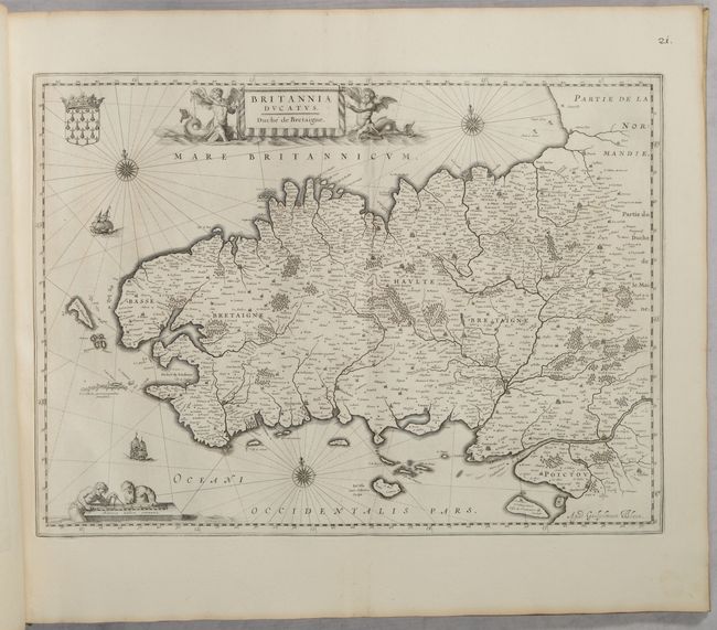
35. Britannia Ducatus
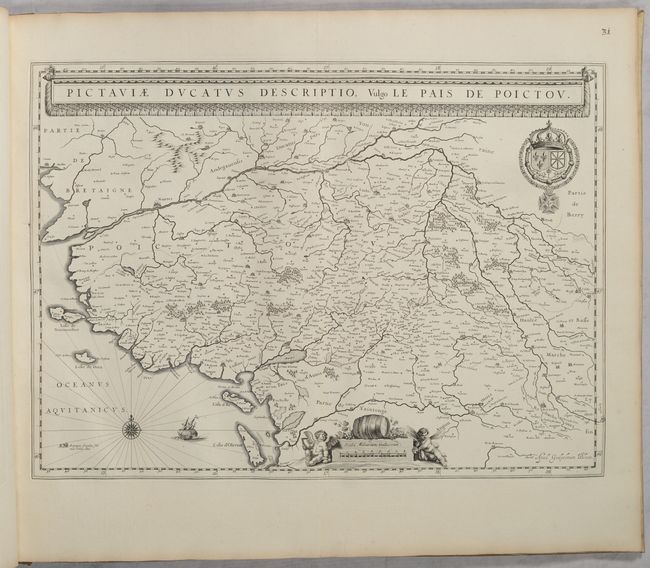
36. Pictaviae Ducatus Descriptio
37. Xaintonge et Angoumois
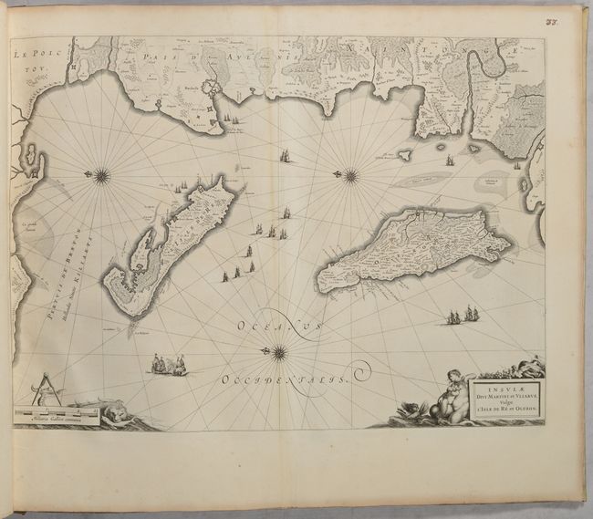
38. Insulae Divi Martini et Vliarus
39. Dioecesis Sarlatensis
40. Carte du Bourdelois [on sheet with] Principatus Benearnia
41. Cadurcium Vernacule Querci
42. Languedoc
43. Provincia
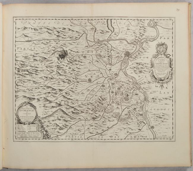
44. La Principaute d'Orange
45. Delphinatus vulgo Dauphine
46. Sabaudia Ducatus Savoye
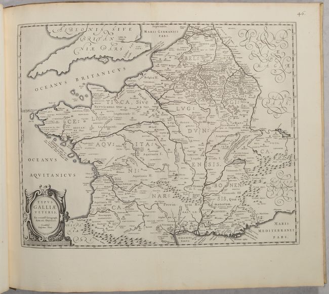
47. Typus Galliae Veteris
48. Gallia Vetus
References: Van der Krogt (Vol. II) #2:232.2J.
Condition: A
The maps have excellent, dark impressions on bright sheets with light toning along the edges and a manuscript page number at top right. This oblong folio is 24" wide and was therefore folded in half vertically at one point, so many of the maps have a faint, soft vertical fold down the center of the map. Six of the maps are in very good (B+) condition due to light soiling. There is a light dampstain in the top right corner of the first 12 maps, only entering the image on a couple of the maps. The title page is also clean and bright. The back cover has very light soiling but the front cover is heavily soiled and worn and curls up at the edges.


