Catalog Archive
Auction 199, Lot 465
NO RESERVE
"Carte de l'Empire d'Allemagne Divise par Cercles Suivant les Nouvelles Observations", Nolin, Jean Batiste
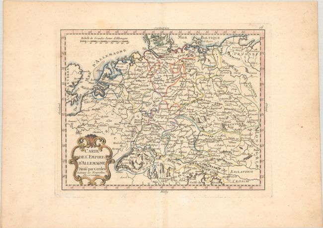
Subject: Central Europe, Germany
Period: 1783 (circa)
Publication: Atlas General a l'Usage des Colleges...
Color: Hand Color
Size:
10.3 x 8.1 inches
26.2 x 20.6 cm
Download High Resolution Image
(or just click on image to launch the Zoom viewer)
(or just click on image to launch the Zoom viewer)