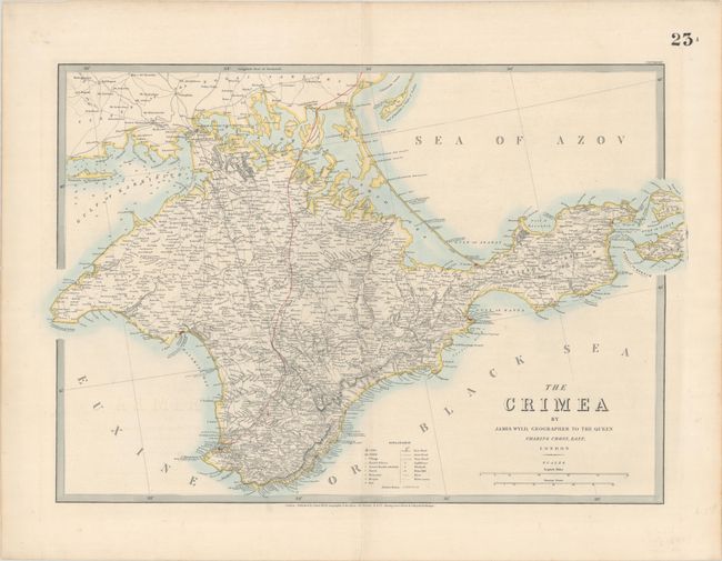
Subject: Crimea
Period: 1865 (circa)
Publication:
Color: Hand Color
Size:
26.9 x 18.6 inches
68.3 x 47.2 cm
A detailed map of the Crimean Peninsula, issued approximately a decade after the Crimean War (1853-1856), which was a battle between the Russian Empire and several European powers for influence over territories of the declining Ottoman Empire. Large cities are noted with red coloring including Sevastopol and Simferopol while smaller towns, villages and hamlets are noted by symbol. The legend further identifies a wealth of information including roads, rivers, windmills, lighthouses, churches, mosques, forts, and more.
References:
Condition: A
A crisp impression on a sturdy sheet with faint offsetting.


