Subject: Central Italy
Period: 1700 (circa)
Publication:
Color: Hand Color
Size:
19.3 x 14.9 inches
49 x 37.8 cm
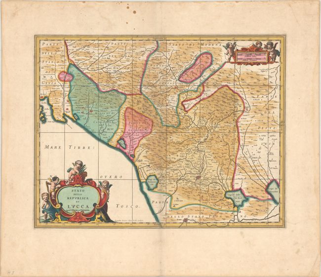
This uncommon and sumptuously engraved map covers the Republic of Lucca in Tuscany. It identifies several towns and cities, including Lucca, Pisa, La Spezia, and Pistoia. There is fine topographical detail of the mountains, rivers, and lakes. Several putti adorn the strapwork title cartouche, and the distance scale cartouche is decorated by more putti with a Gunter's chain and measuring dividers. Engraved by Evardus Simonis Hamersveldt. Petrus Schenk acquired the plate from Jansson's heirs and reissued the map with the imprint of his publishing partnership and with the addition of lines of latitude and longitude. Blank verso.
References: cf. Van der Krogt (Vol. I) #7230.1.3.
Condition: A
A crisp impression with contemporary color and gilt highlights on a sturdy sheet. There is some light foxing and dampstaining confined to the blank margins.


