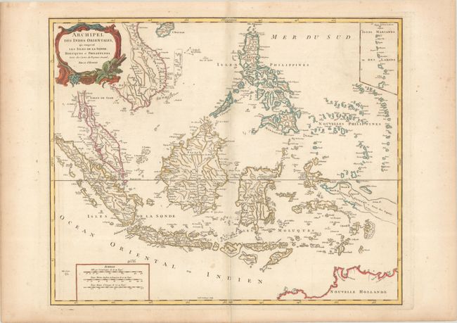
Subject: East Indies - Indonesia
Period: 1750 (circa)
Publication:
Color: Hand Color
Size:
23.3 x 18.9 inches
59.2 x 48 cm
A detailed depiction of the region centered on Borneo, showing Sumatra, Java, the Malay Peninsula, the Philippines, and the tips of New Guinea and Northern Australia (Nouvelle Hollande). An inset at upper right depicts the Marianas. The map names Sincapoura (Singapore) and Batavia (Jakarta) and locates the important Spice Islands. A decorative rococo-style title cartouche and three distance scales are also featured. Engraved by Guillaume Delahaye. This map was originally dated 1750 and published in Atlas Universel; this example has the date and privilege removed from the title cartouche.
References: cf. Pedley #413.
Condition: B+
A crisp impression on a bright sheet with the watermark of "P [heart] Serve L'Arsenai." There is very light offsetting, faint foxing, and minor soiling.