Subject: Prince Edward Island, Canada
Period: 1934 (dated)
Publication:
Color: Black & White
Size:
28 x 19.1 inches
71.1 x 48.5 cm
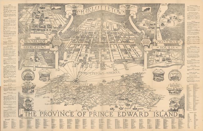
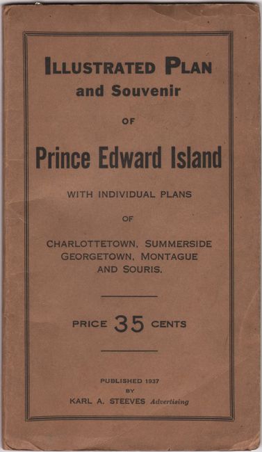
This rare pictorial map highlighting the attractions of Prince Edward Island was designed by Arthur W. Wallace. The map's unique design shows the island itself at bottom, with roads, railways, rivers, bays, harbors, points, and some architectural illustrations, while the top part of the sheet is dominated by larger and more intricate renderings of Charlottetown, Summerside, Georgetown, Montague, and Souris. The island is surrounded by 8 historical vignettes. The map is flanked on three sides by further information, much of it keyed to the map's grid. Produced and published by Karl A. Steeves, who also put out similar souvenir maps of Halifax and Saint John. Folds into stiff paper covers (4.5 x 7.8") with an alternate title: Illustrated Plan and Souvenir of Prince Edward Island.
References:
Condition: B
A crisp impression issued folding with several splits at the fold junctions and a couple light spots in Summerside. There is some minor loss at the lower left junction with an adjacent archivally repaired 2" tear. Paper covers have minor soiling and light wear along the edges.


