Catalog Archive
Auction 201, Lot 245
Unrecorded Pocket Map of Miami by Karl Squires
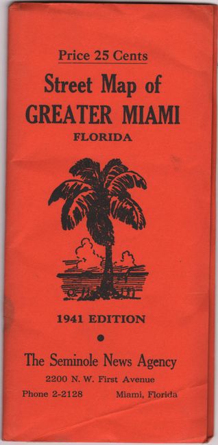
"Street Map of Greater Miami Dade County, Fla."
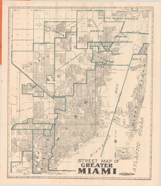
Subject: Miami, Florida
Period: 1941 (dated)
Publication:
Color: Printed Color
Size:
20 x 24.1 inches
50.8 x 61.2 cm
Download High Resolution Image
(or just click on image to launch the Zoom viewer)
(or just click on image to launch the Zoom viewer)