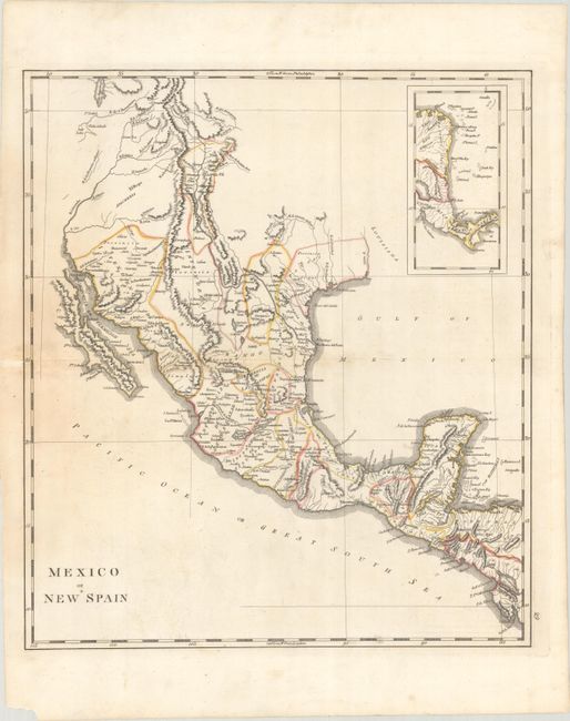
Subject: Southwestern United States & Mexico
Period: 1814 (circa)
Publication: Carey's General Atlas
Color: Hand Color
Size:
15.3 x 17.4 inches
38.9 x 44.2 cm
Mathew Carey was a seminal figure in early American publishing; establishing the first publishing firm to specialize in cartography and issuing the first atlas devoted exclusively to American maps. He set up an elaborate cottage system of craftsmen for compiling, engraving, printing, and coloring maps. This practice was emulated by later American cartographic publishers such as John Melish and Henry S. Tanner. The American Atlas concept was also adopted by other publishers in both the United States and Europe.
This map was issued in Carey's famous General Atlas and depicts the region from Lake Timpanogos south through Mexico to Nicaragua. Much of New Mexico and Colorado is depicted along with portions of Texas. There is good detail of the topography of the region, river systems and coastlines and incorporates the information from Humboldt's map issued three years prior. An inset at top right depicts southern Central America.
References: Phillips (Atlases) #1372-29.
Condition: B+
Contemporary outline color with some light staining at left. A short centerfold separation and small chip also at left have been archivally repaired on verso.


