Catalog Archive
Auction 201, Lot 457
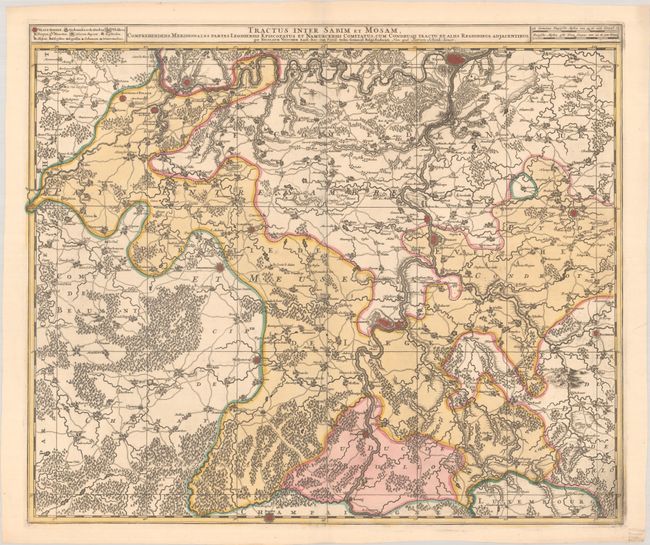
"Tractus Inter Sabim et Mosam, Comprehendens Meridionales Partes Leodiensis Episcopatus et Namurcensis Comitatus...", Visscher/Schenk

Subject: Southern Belgium
Period: 1720 (circa)
Publication:
Color: Hand Color
Size:
22.9 x 19.3 inches
58.2 x 49 cm
Download High Resolution Image
(or just click on image to launch the Zoom viewer)
(or just click on image to launch the Zoom viewer)

