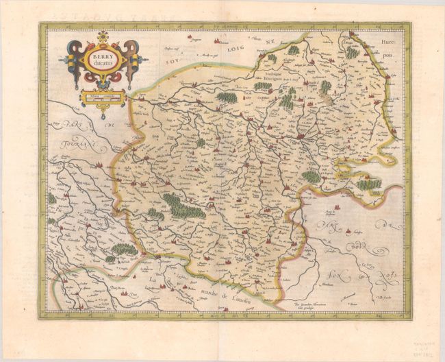
Subject: Central France
Period: 1611 (circa)
Publication: Gerardi Mercatoris - Atlas sive Cosmographicae…
Color: Hand Color
Size:
16.8 x 13.3 inches
42.7 x 33.8 cm
This lovely map of the historical Berry province depicts the present-day departments of Cher and Indre. Large cities, including Bourges, are depicted as miniature castles. The extensive river systems in the region are well illustrated. The map is adorned with a strapwork title cartouche that incorporates the distance scale. Latin text on verso, published between 1611-12.
References: Van der Krogt (Vol. I) #4360:1A.
Condition: A
A dark impression on a bright sheet with a coat of arms watermark, light printer's ink residue, a couple of minor spots, and a short centerfold separation in the bottom margin.