Catalog Archive
Auction 201, Lot 480
"Provincia Indigenis Dicta la Provence Divisa in Omnes suos Vicariatus seu Praefecturas et Terras Adjacentes Eidem Subjectas", Homann, Johann Baptist
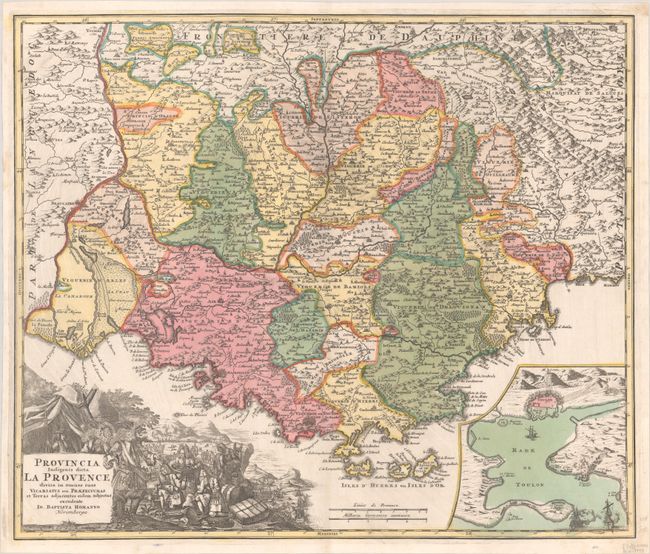
Subject: Southern France
Period: 1720 (circa)
Publication:
Color: Hand Color
Size:
22.4 x 18.9 inches
56.9 x 48 cm
Download High Resolution Image
(or just click on image to launch the Zoom viewer)
(or just click on image to launch the Zoom viewer)