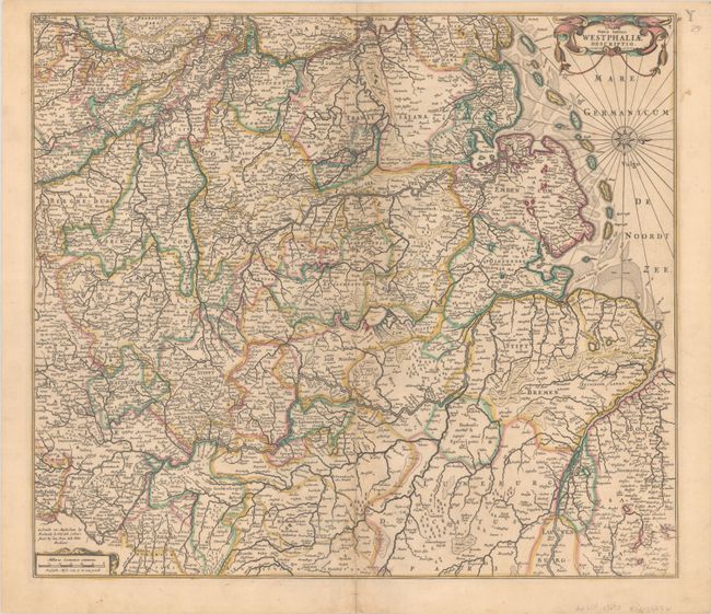
Subject: Northwestern Germany
Period: 1671 (circa)
Publication:
Color: Hand Color
Size:
21.1 x 18.5 inches
53.6 x 47 cm
A detailed map of northwestern Germany and a portion of the Netherlands, extending east to Hamburg, south to Maastricht and Marburg, and west to the Zuyder Zee. The map is filled with details of towns, political boundaries, rivers, and forests. The map is adorned with two strapwork cartouches and a lovely compass rose orienting north to the right. This is the second state, with a "Y" engraved in the top right corner of the map.
References: Carhart #61.2.
Condition: B+
A nice impression with full contemporary color, minor toning, and a long centerfold separation that has been repaired on verso with linen tape. There is some staining along the centerfold on verso due to the adhesive used.


