Catalog Archive
Auction 201, Lot 543
"Germano-Sarmatia in qua Populi Maiores Venedi, et Aestiaei; Peucini, et Bastarnae in Minores Populos Divisi ad Hodiernam Locorum, et Regionum Positionem Respondent", Sanson, Nicolas
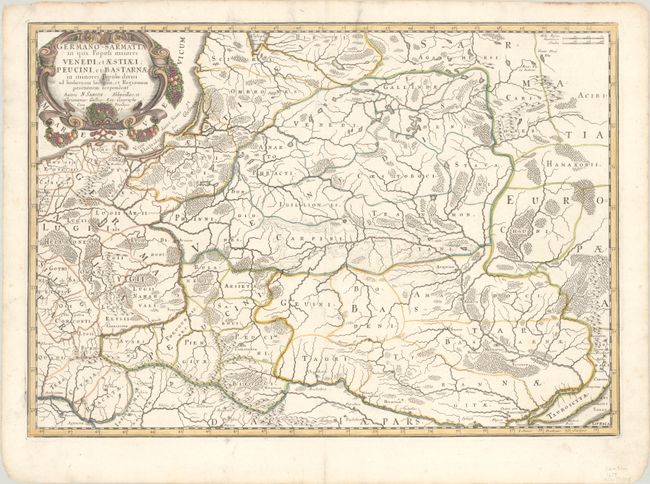
Subject: Eastern Europe
Period: 1655 (dated)
Publication: Cartes Generales de Toutes les Parties du Monde
Color: Hand Color
Size:
21.9 x 15.4 inches
55.6 x 39.1 cm
Download High Resolution Image
(or just click on image to launch the Zoom viewer)
(or just click on image to launch the Zoom viewer)