Subject: Atlases
Period: 1881 (published)
Publication:
Color: Printed Color
Size:
11.3 x 15 inches
28.7 x 38.1 cm
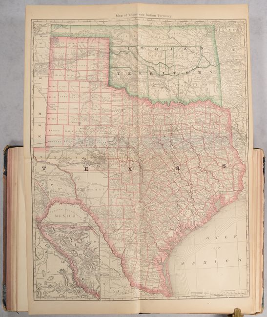
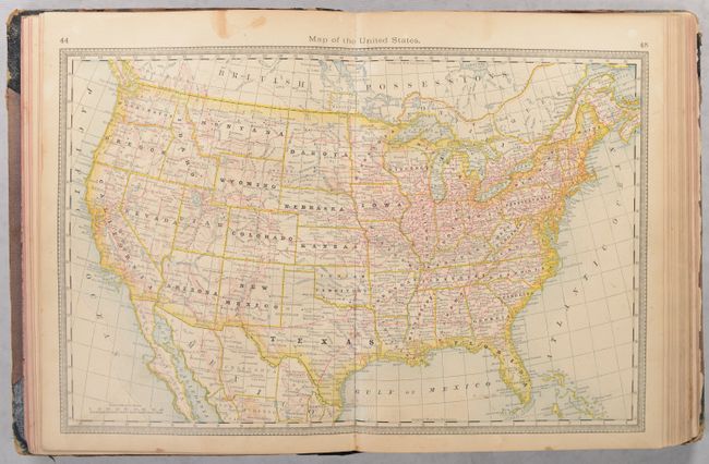
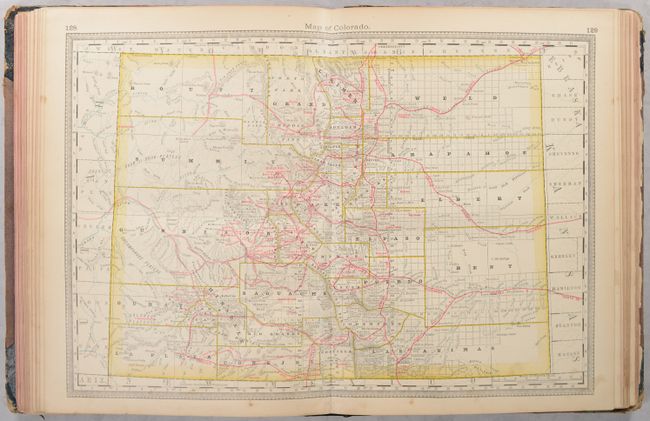
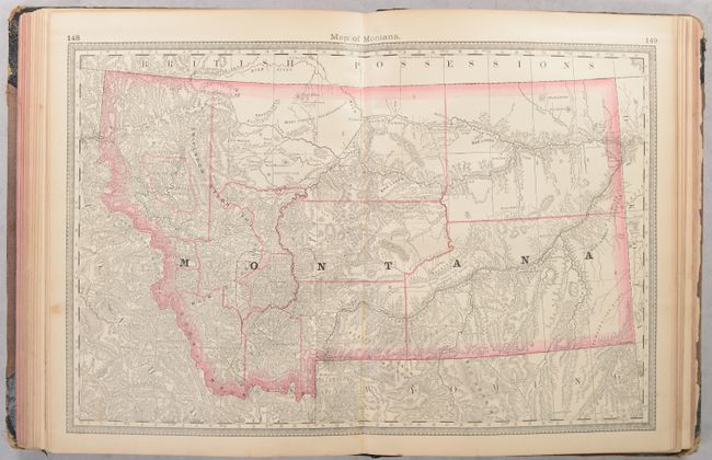
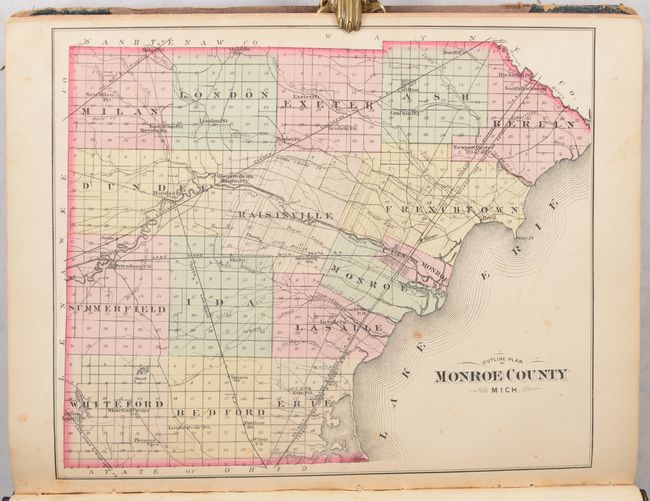
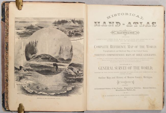
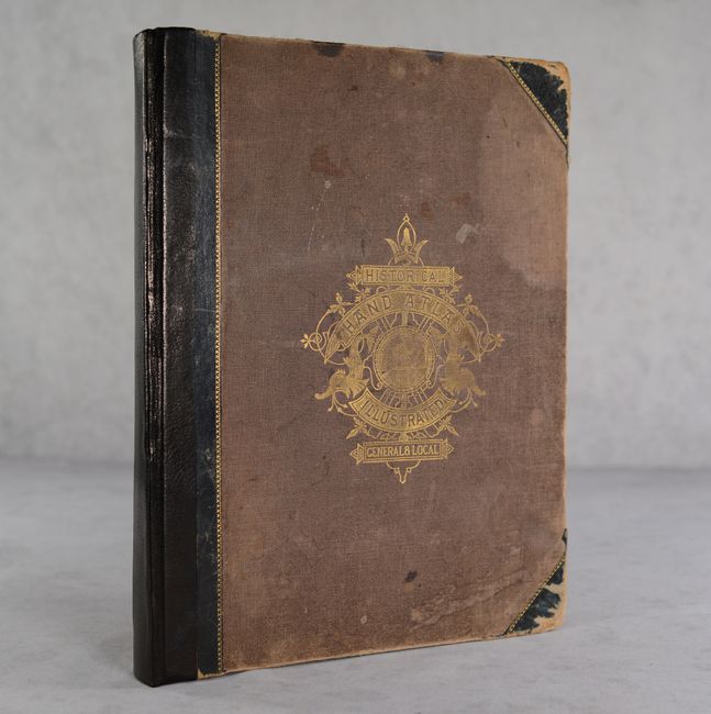
This atlas is titled as an historical atlas, but is mostly a modern atlas of the United States and Canada along with 13 biblical maps on 10 single sheets. It contains a vast amount of historical information on the United States, each individual state, and a special 48-page section on Monroe County, Michigan including a single-page map of the county with hand coloring. There are a total of 33 double-page maps, 14 single-page maps, and 4 large folding maps (New York, Illinois, Texas and Indian Territory, and California and Nevada) within the atlas. 226 pages. Rebacked in leatherette over original brown cloth boards with illustrative gilt title on the front cover.
References:
Condition: B+
The maps are mostly very good to near fine with some occasional light toning and soiling. The world map has a 2" edge tear at left. The folding map of New York has some loss along the top left border and a split at the central fold junction (B). A former owner's signature is on one of the front free endpapers. Rebacked with original covers, which are rubbed and stained.


