Subject: Exploration & Surveys, Oceans & Western Africa
Period: 1747 (published)
Publication:
Color: Black & White
Size:
8.5 x 10.2 inches
21.6 x 25.9 cm
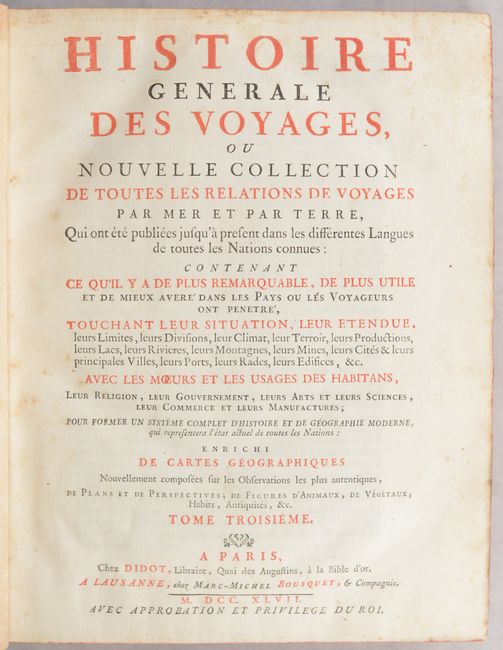
This is a very nice example of volume three of Prevost's history of voyages, with maps by Jacques Nicolas Bellin. This is the 1747 "Nouvelle Collection" published in Paris. The volume is divided into three sections and describes voyages to West Africa, including Sierra Leone, Guinea and Gambia.
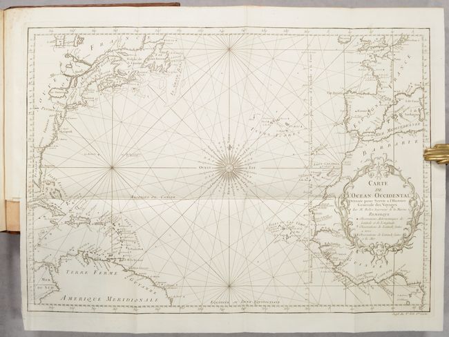
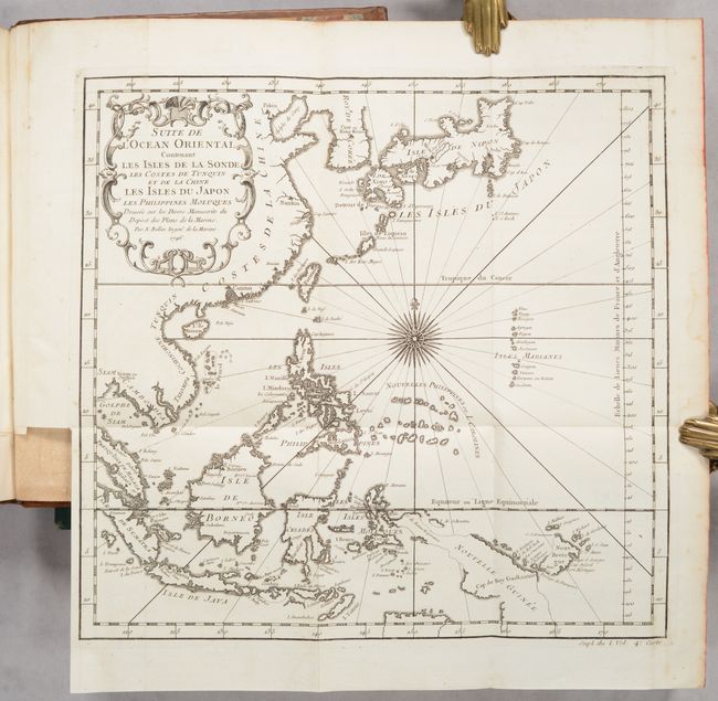
Included are folding maps of the Atlantic Ocean, Indian Ocean, and Eastern Asia. The map of the North Atlantic, Carte de l'Ocean Occidental, labels the North American colonies of Florida, Georgie, Caroline, Virginie, Pensilvanie, Nouve. Angleterre, Ne. Ecosse, and Acadie, and depicts the important fishing banks. The map of Eastern Asia extends from Korea and Japan through New Guinea, with good detail of the islands of Indonesia. Also included are 12 plates, primarily depicting views of forts and castles in Western Africa. The full list of maps:
1. Carte de l'Ocean Occidental (18.3 x 12.7”)
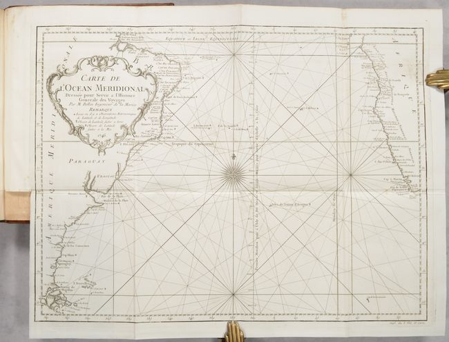
2. Carte de l'Ocean Meridional (18 x 13.5”)
3. Carte de l’Ocean Oriental ou Mer des Indes (18.9 x 13.3“)
4. Suite de l’Ocean Oriental Contenant les Isles de la Sonde les Costes de Tunquin et de la Chine les Isles du Japon les Philippines Moluques (11.9 x 11.4“)
5. Carte des Costes de France et d’Espagne (10.9 x 8.8“)
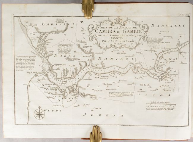
6. Carte de la Riviere de Gambra ou Gambie Depuis son Embouchure Jusqu’a Eropina (12.9 x 8”)
7. Carte du Cours de la Riviere de Gambra ou Gambie Depuis Eropina Jusqua Barrakonda (12.7 x 8”)
8. Carte de la Coste et Pays Voisins des Rivieres de Sierra Leona et de Sherbro (5.8 x 8.4“)
9. Carte de l’Entrée de la Riviere de Sierra Leona quon Appelle aussi Mitomba ou Tagrim (5.8 x 8.4“)
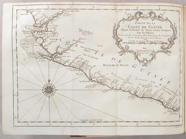
10. Partie de la Coste de Guinee Depuis la Riviere de Sierra Leona Jusqua Cap das Palmas (13.1 x 9.1")
11. Partie de la Coste de Guinee Depuis la Cap de Monte Jusqu'au Cap des Basses (8.3 x 6.0")
12. Suite de la Coste de Guinee Depuis le Cap de Palme Jusqu’au Cap des Trois Pointes (11.2 x 8“)
13. Carte des Entrees de la Riviere de Scherbro ou Cerbera (9.6 x 7”)
14. Vue du Cap Mesurado et ses Environs (6.2 x 8.4”)
15. Entrée de la Riviere de Sestos (5.9 x 8.4”)
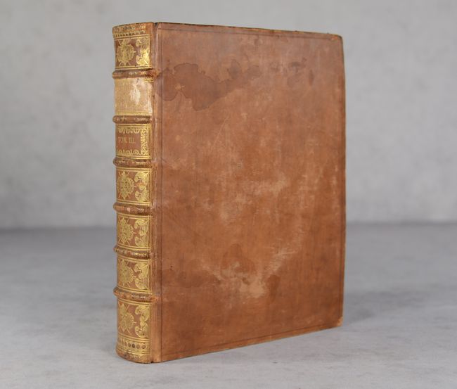
Quarto. Letterpress title page printed in red and black; [6 pages]; 648 pages; 15 maps; 12 plates of illustrations. Hardbound in full calf with raised bands, gilt tooling and gilt title on spine; marbled endpapers; all edges red; original green ribbon page marker.
References: Sabin #65402.
Condition: A
A lovely example with crisp impressions on bright sheets. A few of the maps have minor foxing or soiling. The map of the coast of Cape Verde has printer's ink residue. The text and title page are bright with light, scattered foxing. The binding is sound. The covers are scuffed and stained with bumped corners, and there are some abrasions on the spine.


