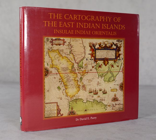
Subject: References, East Indies - Indonesia
Period: 2005 (published)
Publication:
Color: Printed Color
Size:
12.2 x 10.9 inches
31 x 27.7 cm
Dr. David Parry's fantastic reference traces the cartography of Insulae Indiae Orientalis (East Indian Islands) from classical maps of the region to the era of scientific cartography. As Parry states in the introduction, "The main spice-producing islands were Tidore, Ternate (cloves), Ambon and Banda (nutmeg and mace) which between them occupy a mere 340 square kilometres, but their size bears no relationship to the impact that their products have had on the history of the Far East and the development of world cartography." The book is illustrated with old maps, most in color. 241 pages. Hardbound in green cloth with gilt titles on cover and spine and an illustrated dust jacket.
References:
Condition: B+
Hinges are starting. Text is clean, and covers are very good with slightly bumped corners. Dust jacket has minor shelf wear.


