Subject: Atlases
Period: 1881 (published)
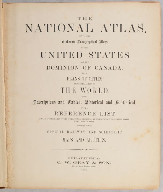
Publication:
Color: Hand Color
Size:
14.8 x 17.8 inches
37.6 x 45.2 cm
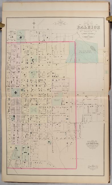
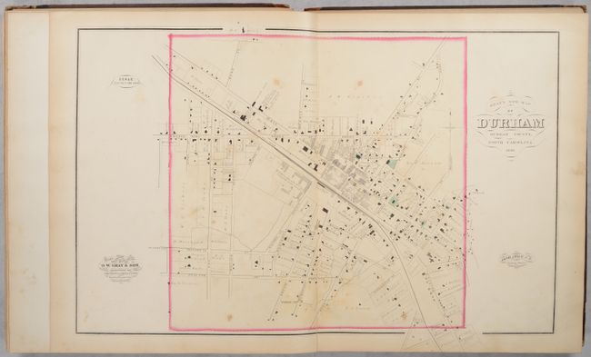
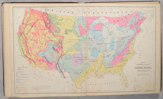
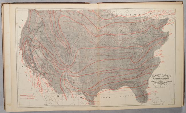
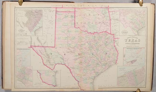
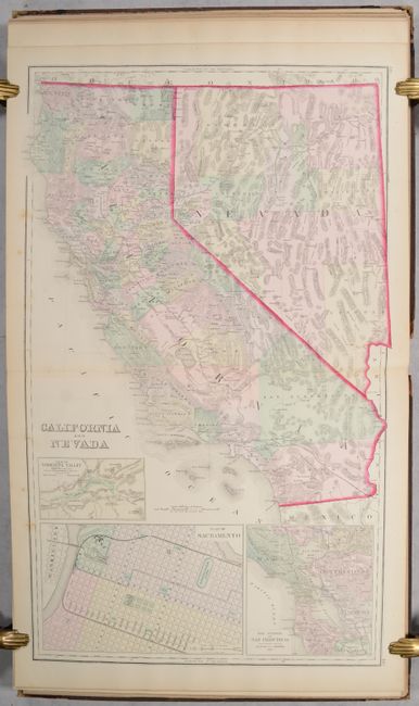
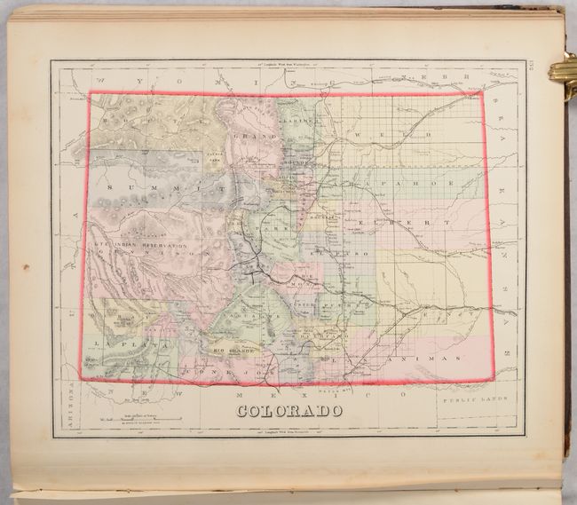
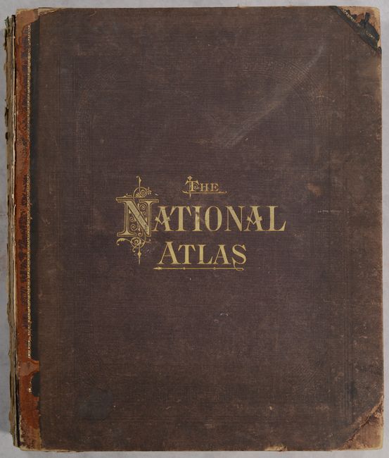
This is the scarce North Carolina edition of Gray's National Atlas containing 37 single-page maps, 34 double-page maps, and 4 extra double-page maps of North Carolina not listed in the table of contents. The North Carolina maps include Eastern Part of Raleigh, Western Part of Raleigh, Durham, and Goldsboro by Jacob Chace showing individual buildings and ownership. All maps except for one are hand colored which is quite unusual for this late publication date. The atlas features the very attractive and colorful Gray’s Geological Map of the United States based upon Hitchcock that depicts nine different geologic strata. The double-page map of Texas and the Indian Territory reflects the state's rapid growth as evidenced by the newly formed counties in the former huge panhandle section of Young Territory. Several railroads abruptly end between cities as the map indicates the exact progress to date. Seven large insets include city plans for Austin and Galveston, the Entrance to Galveston Bay, and the River Systems. The atlas also includes Blodget's Climatological Map of the United States, attractive double-page maps of California/Nevada and Nebraska, and single-page maps of Colorado, Oregon/Washington, and Arizona/New Mexico among many others. At the end of the volume is a directory of North Carolina businesses. Hardbound in quarter leather with tips over cloth boards with gilt title on the front cover.
References:
Condition: B+
Condition code is for the maps, which are good to mostly very good/near fine with some scattered foxing throughout. The double-page map of New York has an archivally repaired 1.5" edge tear at center. Covers are scuffed, worn and detached. Spine has perished. Given the favorable condition of the maps, this example would be a good candidate for professional rebinding.