Showing Featured Lots(remove filter)
Filtered by Category:North America(Show All Categories)
Showing results for:Auction 194
Catalog Archive
4 lots
Auction 194, Lot 64
Subject: Colonial North America
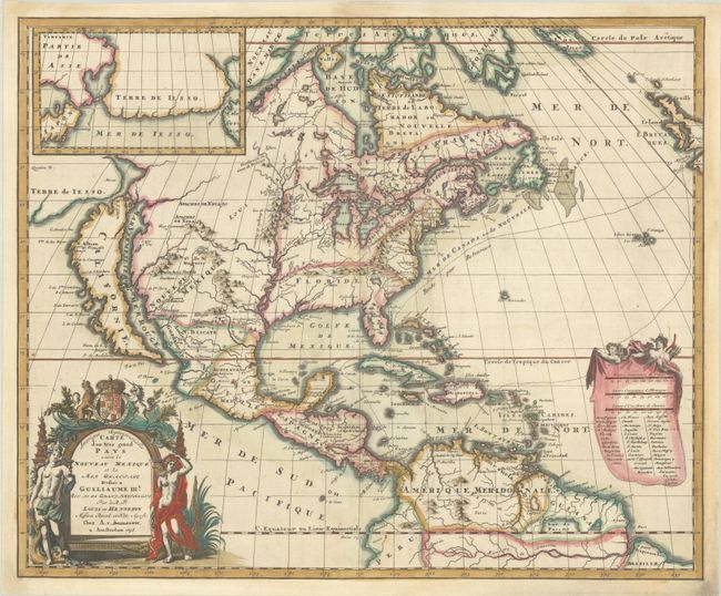
Hennepin, Louis de (Fr.)
Amerique Septentrionalis Carte d'un Tres Grand Pays entre le Nouveau Mexique et la Mer Glaciale…, 1698
Size: 20.8 x 17.1 inches (52.8 x 43.4 cm)
Estimate: $3,500 - $4,250
Hennepin's Influential Map of North America with Contemporary Color
Sold for: $4,750
Closed on 9/13/2023
Auction 194, Lot 85
Subject: Colonial Eastern North America & West Indies
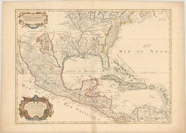
Delisle, Guillaume
Carte du Mexique et de la Floride des Terres Angloises et des Isles Antilles du Cours et des Environs de la Riviere de Mississipi..., 1703
Size: 25.6 x 18.8 inches (65 x 47.8 cm)
Estimate: $1,800 - $2,100
Landmark in American Cartography - First Printed Map to Accurately Depict the Mouth of the Mississippi River
Sold for: $1,600
Closed on 9/13/2023
Auction 194, Lot 86
Subject: Colonial Eastern North America & West Indies
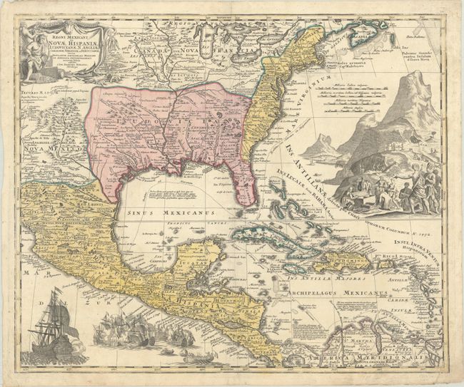
Homann, Johann Baptist
Regni Mexicani seu Novae Hispaniae, Ludovicianae, N. Angliae, Carolinae, Virginiae et Pensylvaniae nec non Insularum Archipelagi Mexicani in America Septentrionali Accurata Tabula, 1720
Size: 22.6 x 18.8 inches (57.4 x 47.8 cm)
Estimate: $1,600 - $1,900
Homann's Decorative Map of Colonial America in the Era of the War of the Spanish Succession
Sold for: $1,200
Closed on 9/13/2023
Auction 194, Lot 731
Subject: Atlases, North America
Rogers & Johnston
Atlas of the United States of North America, Canada, New Brunswick, Nova Scotia, Newfoundland, Mexico, Central America, Cuba, and Jamaica..., 1857
Size: 10.3 x 14.8 inches (26.2 x 37.6 cm)
Estimate: $2,750 - $3,500
Rare Rogers & Johnston Atlas with Desirable Maps of the American West
Sold for: $1,700
Closed on 9/13/2023
4 lots


