Catalog Archive
Auction 106, Lot 433
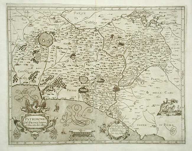
"Patrimonio di S. Pietro, Sabina, et Ducato di Castro", Magini, Giovanni Antonio

Subject: Italy
Period: 1620 (circa)
Publication: Italia de Gio: Ant. Magini
Color: Black & White
Size:
18.5 x 14.2 inches
47 x 36.1 cm
Download High Resolution Image
(or just click on image to launch the Zoom viewer)
(or just click on image to launch the Zoom viewer)

