Subject: Europe
Period: 1914-1918 (dated)
Publication:
Color: Printed Color
Size:
25 x 13.5 inches
63.5 x 34.3 cm
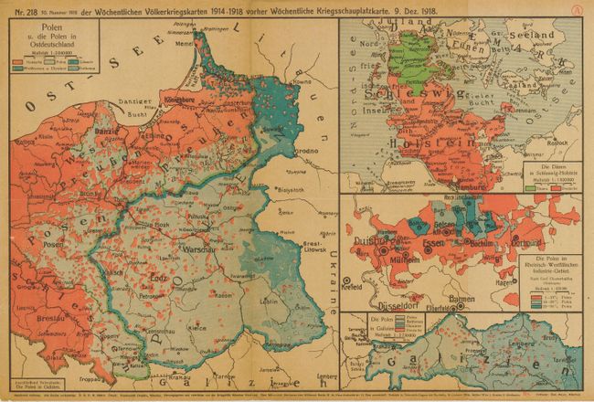
This is a great lot of German maps detailing the progress of World War I. It consists of seven consecutive issues, Part I through Part 7. Each volume is hardbound in maroon cloth binders with titling in gold lettering and shield with a gold embossed sword. The maps were issued one week apart to mark the progress of the war effort and each contains a very extensive index of cities and place names. Together they contain approximately 224 precisely-printed, colorful folded maps that each measure approximately 25" x 12.5" with full descriptive German text on verso detailing the week's events. In the first 5 binders, the maps are tipped in with paper tabs as in older atlases. In the last two, the maps are loose in multiple map folders. These books are rarely offered individually; so it is remarkable to see the full run together.
References:
Condition: A
Maps are generally very good to fine. The bindings are mostly clean and bright, with Part 7 exhibiting more wear with cloth frayed at spine and some darkening of cloth.


