Subject: Exploration and Surveys
Period: 1876 (dated)
Publication:
Color: Black & White
Size:
9.5 x 12 inches
24.1 x 30.5 cm
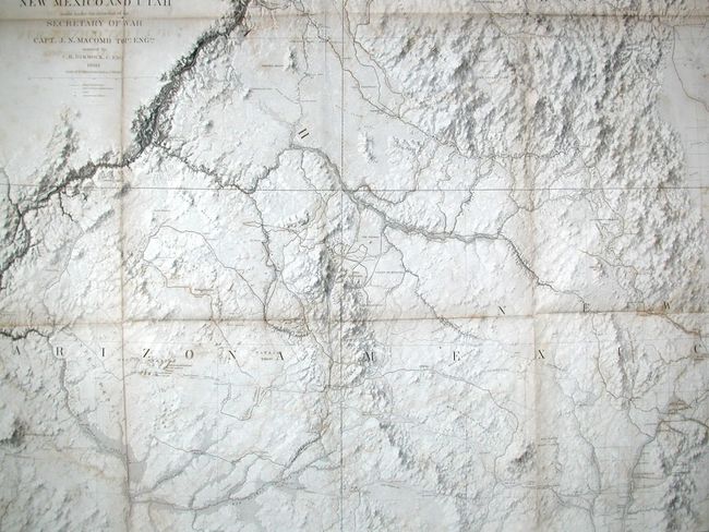
This important report was produced in 1860 but not issued until 1876 due to the Civil War. Included is the very rare Map of Explorations and Surveys in New Mexico and Utah…, which is considered by Wheat to be a landmark in the mapping of the region and "one of the most beautiful maps every published by the Army." According to Wheat there are several reasons for its importance. First, it is the first to show a trail to the junction of the Green and Grand Rivers. Second, he praises the map for its depiction of numerous routes of other explorers. Finally, it demonstrates the culmination of the process developed by Egloffstein to convey the idea of altitude. The process used a combination of extremely fine lines and applying acid to the plate for varying times, thus giving the map a remarkable 3-dimensional realism unmatched in the period. It is also the first to correctly establish the relationship between the San Juan and Colorado Rivers. The map covers Arizona, Utah, New Mexico and about 30% of Colorado.
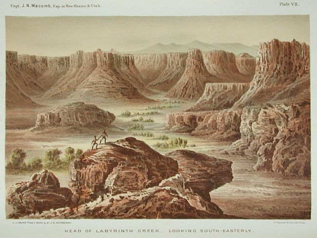
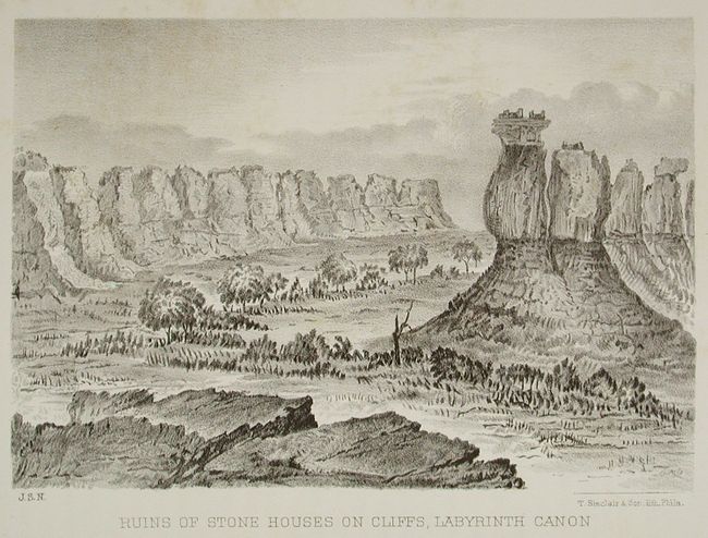
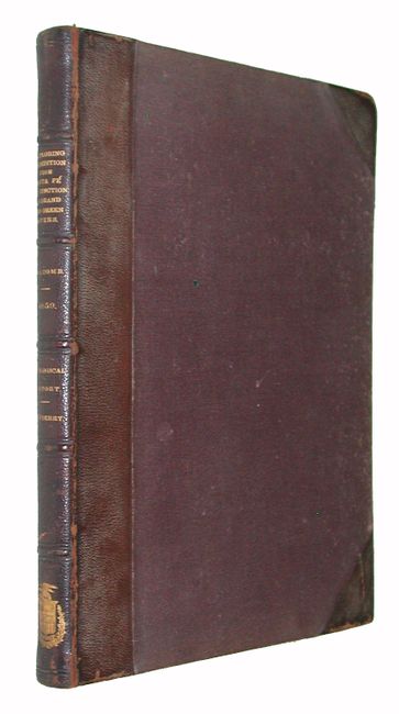
This highly sought after report is complete with eleven black and white engravings and eleven chromolithograph prints, and also features "Descriptions of the Cretaceous fossils collected on the San Juan Exploring Expedition under Capt. J. N. Macomb, U.S. Engineers." by F. B. Meek. 4to. Complete. Hardbound in original brown cloth with half calf spine and tips. Gilt title on spine.
References: Wheat (TMW) #983; Goetzmann, p. 396.
Condition: B+
Map has some offsetting and scattered foxing. A binding tear has been repaired on verso. Text and plates generally good with scattered foxing. Covers are quite good with some light scuffing and very light shelf wear. Spine and binding are tight and sound. An excellent copy.


