Catalog Archive
Auction 128, Lot 238
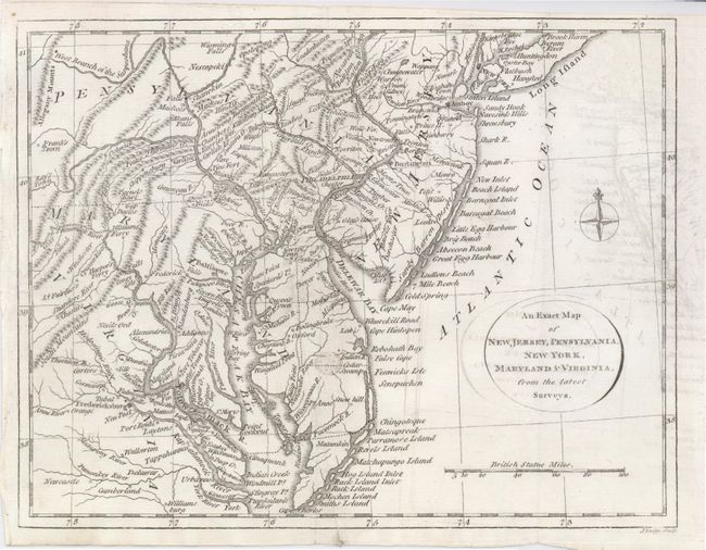
"An Exact Map of New Jersey, Pennsylvania, New York, Maryland & Virginia, from the latest Surveys", Lodge, J.

Subject: Colonial Mid-Atlantic
Period: 1778 (published)
Publication: The History of America by William Russell
Color: Black & White
Size:
9.5 x 7.5 inches
24.1 x 19.1 cm
Download High Resolution Image
(or just click on image to launch the Zoom viewer)
(or just click on image to launch the Zoom viewer)

