Subject: Asia
Period: 1761-1890
Publication:
Color: Hand Color
This is a diverse lot of maps covering the continent of Asia.
1) Carte d'Asie divisee en ses principaux Etats…, by Joseph De La Porte, c. 1780, (8.8 x 7"). Original outline color with narrow margins and some minor toning. (B+)
2 Map of Asia Showing its Gt. Political Divisions, and also, the Various Routes of Travel between London & India, China & Japan &c., by S.A. Mitchell, from New General Atlas, 1860, (13.3 x 10.6"). Original color (A+)
3) Map of Asia, by Daniel Burgess, 1853, (8.8 x 10.4"). Insets of Palestine and Armenia. Original color with narrow left side margin and some tape stains in bottom margin. (B+)
4) Asia, by Jerimiah Greenleaf, from New Universal Atlas, 1840, (12.5 x 10.7"). Original color with faint toning. (A)
5) Eratosthenis Systema Geographicum Stereographicae Projectioni Subjectum, by Guillaume Nicolas Delahaye, 1789, (14.8 x 9"). A Ptolemaic map of the old world. Original color with some minor foxing. (B+)
6) Asia, by Dury/Ellis, circa 1761, (4.7 x 4"). Original outline color. (A)
7) Asie dressee et dessinee sous la Direction, by Jean-Guillaume Barbie du Bocage, from Geographie Universelle, circa 1845, (12 x 9"). Original color (A+)
8) Asie, by Lacoste/Migeon, circa 1890 (16.5 x 12.3"). Inset with a view of Benares (Varanasi, India). Original color (A+)
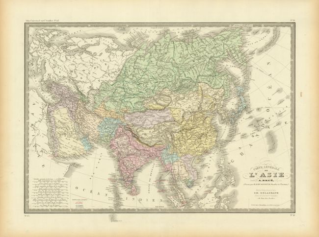
9) Carte Generale de l'Asie, by Brue, from Delagrave's Atlas Universel, circa 1875, (20.2 x 14.2"). Original color with notations of the colonial possessions and France, Britain and Portugal. Some minor edge tears. (A)
10) Lacs, Fleuves, Rivieres et Principales Montagnes de l'Asie, by Jean Baptiste Louis Clouet, circa 1787 (13.5 x 12.4"). Original color (A)
11) Carte de l'Asie, by Lapie/Tardieu, 1854, (21.8 x 15.4"). Toned with some tears in blank margins. (B+)
References:
Condition:
See descriptions.


