Subject: Atlases
Period: 1890-1931 (published)
Publication:
Color: Printed Color
Size:
11 x 14 inches
27.9 x 35.6 cm
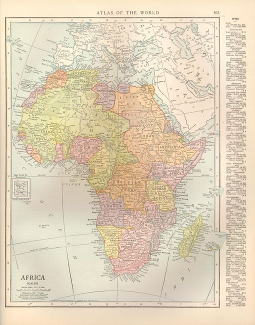
The Rand McNally company was one of the most successful map publishers in American history. That was largely due to diversification in the types of maps produced, advances in printing technology, and the company's extensive and innovative marketing and distribution system. This lot covers four decades, from the World's Columbian Exposition in 1890 through the first quarter of the 20th century. All are filled with maps of the world, continents, major countries, and U.S. states.
1) The Rand McNally New Standard Atlas of the World, 1890.
2) Rand McNally & Co.'s New General Atlas of the World, 1896.
3) Pictorial Atlas of the World, 1896.
4) Rand McNally & Co.'s New Census Atlas of the World, 1913.
5) Rand McNally Ideal Atlas of the World, 1916.
6) Premier Atlas of the World, 1926.
7) Rand McNally World Atlas - Premier Edition, 1931.
References:
Condition: B+
All with minor shelf wear and some minor stains on covers. Bindings generally tight with front cover starting to separate on 1-5. CT map detached in #3. The usual pencil notations on endpapers. Maps and text all very good to fine.


