Subject: India
Period: 1700 (circa)
Publication:
Color: Hand Color
Size:
9.5 x 7.5 inches
24.1 x 19.1 cm
A. Presqu'Isle de l'Inde deca la Gange, ou sont les Royaumes, de Decan, de Golconde, de Bisnagar, et le Malabar. Striking map of southern India, with a portion of Sri Lanka shown as well as a bit of the Maldives. The Malabar Coast is depicted in an inset. The map is filled with details and place names, including the Coromandel Coast and Cape Comorin. Engraved by Antoine d' Winter. Condition: Watermarked paper with marginal soiling and binding holes in right blank margin. (A)
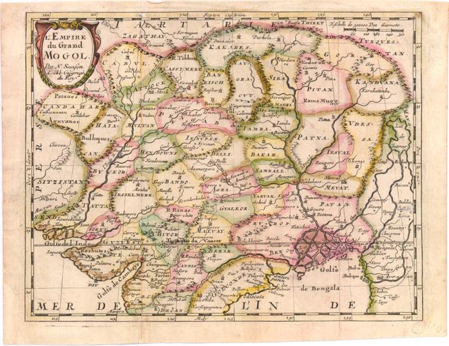
B.L'Empire du Grand Mogol. This small map covers Northern India and present-day Nepal and Bangladesh and shows the political divisions, topography, cities and major towns. At right is the mythical Lac de Chiamay. It is decorated with a nice title cartouche. Condition: Issued folding, with original outline color and a few faint spots. (B+)
References:
Condition:
See description.


