Catalog Archive
Auction 141, Lot 158
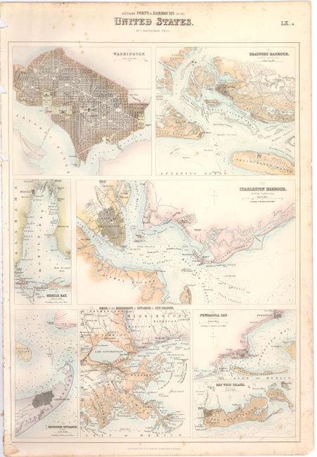
"[Lot of 2] Northern Ports & Harbours in the United States [and] Southern Ports & Harbours in the United States", Fullarton, Archibald & Co.
Subject: Eastern United States
Period: 1860 (circa)
Publication: The Royal Illustrated Atlas
Color: Hand Color
Size:
11.8 x 17 inches
30 x 43.2 cm
Download High Resolution Image
(or just click on image to launch the Zoom viewer)
(or just click on image to launch the Zoom viewer)


