Subject: Geography Books
Period: 1865 (published)
Publication:
Color: Hand Color
Size:
11.9 x 13.8 inches
30.2 x 35.1 cm
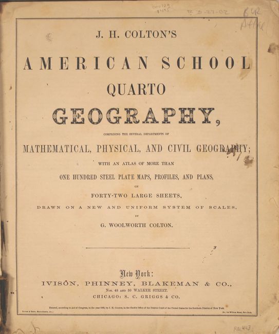
Large quarto format school atlas with numerous steel plate maps, profiles and plans on 42 large sheets. Includes a nice map of the United States and the West showing the newly formed Nevada and Arizona, with Dakota Territory occupying the region of present-day Wyoming. As a Civil War-period atlas it is fascinating to find not a single reference to the conflict. 118 pp., hardbound in pictorial paper covers over boards. Published by Ivison, Phinney, Blakeman & Co. in New York.
References:
Condition: B+
The maps are very good with light toning and an edge tear on the Georgia/Alabama/Florida map closed on verso with cello tape. Covers are rubbed, soiled, and nearly detached. Spine has perished.


