Subject: Yosemite, California
Period: 1898-1940 (circa)
Publication:
Color: Printed Color
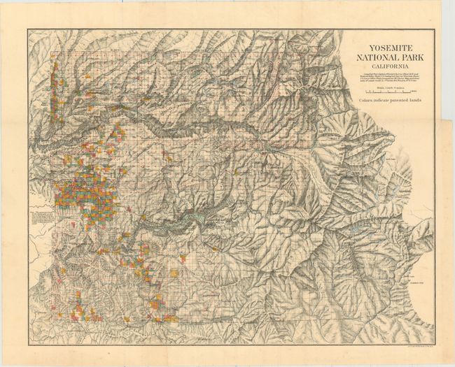
A. Yosemite National Park California, by U.S. Government, circa 1898 (13.9 x 10.8"). Beautiful stone lithographed map has fine color overprinting to indicate patented lands. It extends to Deadman's Pass in the east; locates White Wolf, Bald Mountain, and various high mountain lakes to the east. Yosemite Valley is at the center with rock formations named. Condition: Issued folding with a few minor spots of foxing and a tiny binding tear at right that just passes the neatline and has been closed on verso with archival tape. (B+)
B. Routes to Yosemite National Park [on verso] Roads in Yosemite Valley, by California State Automobile Association, circa 1940 (21.0 x 15.1"). This promotional map covers central California from Stockton south to Fresno and shows the major roads leading to Yosemite National Park with stars identifying branch offices of the Automobile Association. The verso shows a smaller map with the roads and major tourist destinations within Yosemite. Condition: An attractive example with faint toning. (A)
References:
Condition:
See description above.


